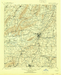
1904 Map of Rome
USGS Topo · Published 1945About this map
The confluence of the Oostanaula River and the Etowah River forms the Coosa River at Rome, serving as the central hub for this early twentieth-century river and rail landscape. The map records a transition from river-dependent transportation to a dense industrial network, shown through numerous river crossings like Neals Ferry and Freeman Ferry alongside the emerging tracks of the Rome and Southern R.R. and the Chattanooga Southern R.R.
Find a feature on this map
160 named features on this map. Tap any name to fly to it.
Don’t see what you’re looking for? This feature index may not catch every label — zoom into the map to look around manually.
Map Details
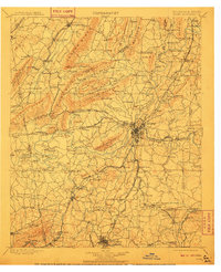
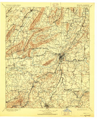
Editions of this 1904 Rome Map
4 editions found

Other maps of this area

1886 · Dalton
USGS Topo · 1:125,000

1886 · Ringgold
USGS Topo · 1:125,000

1886 · Rome
USGS Topo · 1:125,000

1886 · Stevenson
USGS Topo · 1:125,000

1889 · Tallapoosa
USGS Topo · 1:125,000

1890 · Cartersville
USGS Topo · 1:125,000

1891 · Marietta
USGS Topo · 1:125,000

1891 · Cartersville
USGS Topo · 1:125,000

1892 · Ringgold
USGS Topo · 1:125,000

1892 · Dalton
USGS Topo · 1:125,000