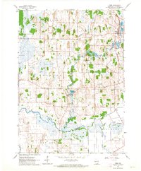
1960 Map of Rome
USGS Topo · Published 1964About this map
Bark River and its winding tributaries dominate this 1960s landscape, shaping a series of impoundments and wetlands that define local life. Small rural hubs like Rome and Slabtown sit near water bodies such as Rome Pond and Slabtown Pond, while the settlement of Hebron is positioned between the river and Green Isle Lake. The terrain is punctuated by many family and community burial grounds, including Hoffman Cem, Munson Cem, and McKay Cem, providing significant geographic markers for genealogists.
Find a feature on this map
29 named features on this map. Tap any name to fly to it.
Don’t see what you’re looking for? This feature index may not catch every label — zoom into the map to look around manually.
Map Details
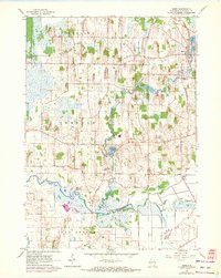
Editions of this 1960 Rome Map
2 editions found
Other maps of this area

1891 · Waterloo
USGS Topo · 1:62,500

1891 · Koshkonong
USGS Topo · 1:62,500

1892 · Watertown
USGS Topo · 1:62,500

1892 · Whitewater
USGS Topo · 1:62,500

1893 · Whitewater
USGS Topo · 1:62,500

1894 · Waterloo
USGS Topo · 1:62,500

1894 · Watertown
USGS Topo · 1:62,500

1894 · Koshkonong
USGS Topo · 1:62,500

1903 · Whitewater
USGS Topo · 1:62,500

1906 · Koshkonong
USGS Topo · 1:62,500