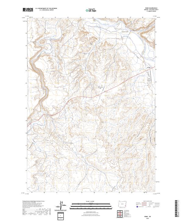
2023 Map of Rome
USGS Topo · Published 2023About this map
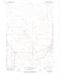
Rome sits at a geographic crossroads in southeastern Oregon, where the high desert meets the dramatic geology of the Owyhee Canyon. This 2023 survey illustrates a landscape defined by water management and transit, with irrigation infrastructure like the Hubble Ditch and Happy Valley Ditch drawing from the Owyhee River and Jordan Creek to support life in the arid basin. The small settlement of Happy Valley occupies the northern reaches, while the area around Rome includes the Rome Service Airport, serving this remote stretch of Malheur County. Prominent geological formations, including the Rome Cliffs and the expansive McCutcheon Flat, characterize the terrain. The network of local routes, including Kiger Rd and the Old Ion Hwy, traces the path of travel through the canyons and gulches, while Crooked Creek winds through the southwestern section of the quadrangle.
Find a feature on this map
26 named features on this map. Tap any name to fly to it.
Don’t see what you’re looking for? This feature index may not catch every label — zoom into the map to look around manually.
Map Details
Editions of this 2023 Rome Map
This is the sole edition of this map. No revisions or reprints were ever made.
Other maps of this area

1955 · Jordan Valley
USGS Topo · 1:250,000

1957 · Jordan Valley
USGS Topo · 1:250,000

1958 · Jordan Valley
USGS Topo · 1:250,000

1972 · Owyhee Butte
USGS Topo · 1:24,000

1972 · Rome
USGS Topo · 1:24,000
1972 · Scott Reservoir
USGS Topo · 1:24,000
1972 · Arock
USGS Topo · 1:24,000
1972 · Iron Mountain
USGS Topo · 1:24,000
1972 · Burns Junction
USGS Topo · 1:24,000

1979 · Rockhouse Reservoir
USGS Topo · 1:24,000