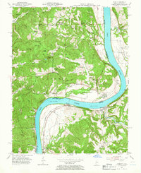
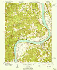
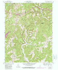
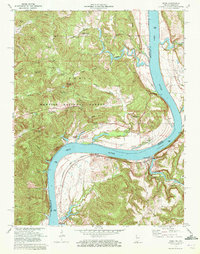
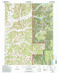
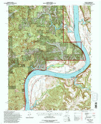
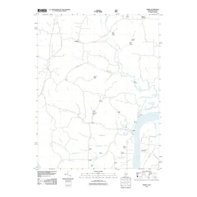
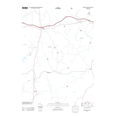
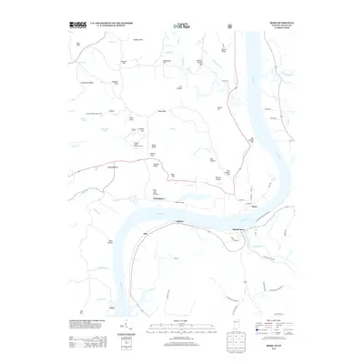
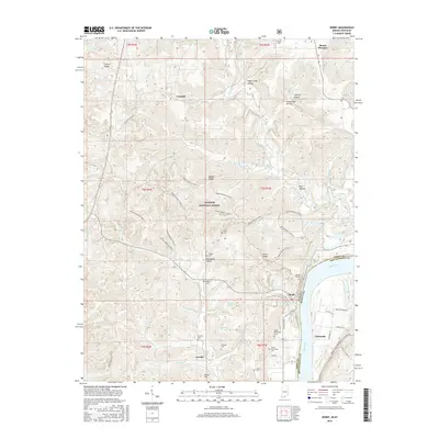
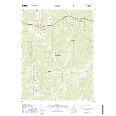
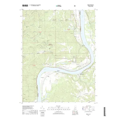
1953 Map of Rome
USGS Topo · Published 1966About this map
The Ohio River defines the dramatic bend of the Indiana and Kentucky border, anchoring the riverfront settlements of Rome, Addison, and Stephensport in the early 1950s. On the Indiana shore, the Hoosier National Forest covers much of the high ground, characterized by the German Ridge and features like the German Ridge Lookout Tower. This survey documents a rural river economy prior to modern landscape changes, marking the location of Lock No 45 and various family-named landmarks such as Brashear Cem and Anspaugh Flats. Deep hollows like Helwig Hollow and Rickert Hollow cut through the ridges toward the riverbank, where Sinking Creek and Town Creek join the main flow. The map provides essential detail for genealogists, showing several small burial sites including Shoemaker Cem and Wegenast Cem, alongside the Tucker Sch in the Kentucky hills.
Find a feature on this map
69 named features on this map. Tap any name to fly to it.
Don’t see what you’re looking for? This feature index may not catch every label — zoom into the map to look around manually.
Map Details
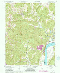
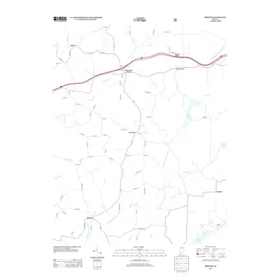
Editions of this 1953 Rome Map
2 editions found
Historical Maps of Hardingrove Through Time
43 maps found
1953 Rome
Perry County, IN
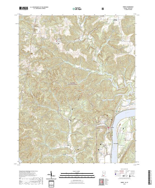
1954 Derby
Perry County, IN
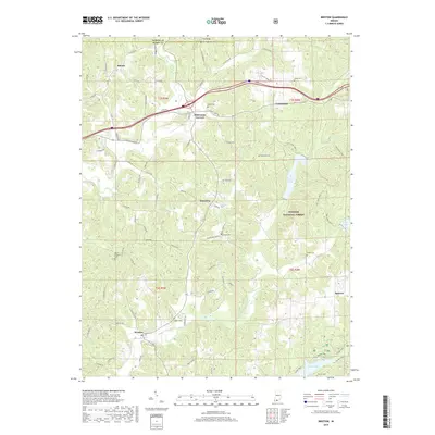
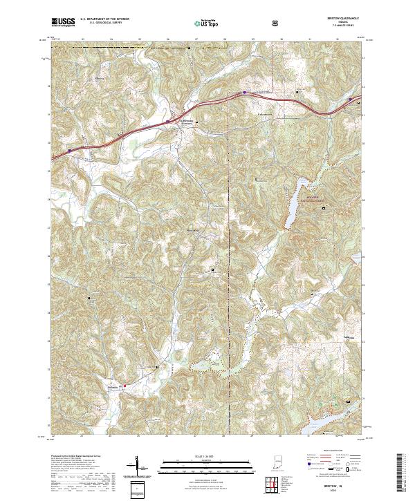
1957 Bristow
Perry County, IN
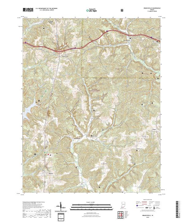
1958 Branchville
Perry County, IN
1958 Derby
Perry County, IN
1958 Gatchel
Perry County, IN
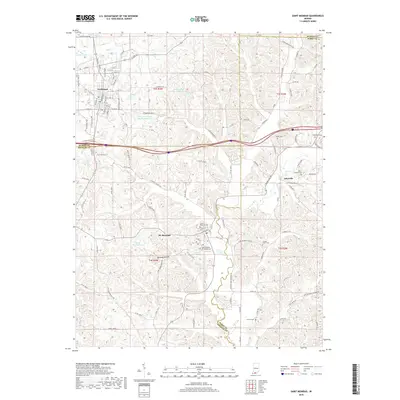
1960 Saint Meinrad
Perry County, IN
1970 Rome
Perry County, IN
1993 Branchville
Perry County, IN
1993 Bristow
Perry County, IN
1993 Derby
Perry County, IN
1993 Gatchel
Perry County, IN
1993 Rome
Perry County, IN
2010 Branchville
Perry County, IN
2010 Bristow
Perry County, IN
2010 Derby
Perry County, IN
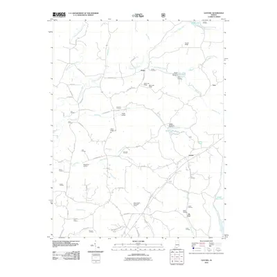
2010 Gatchel
Perry County, IN
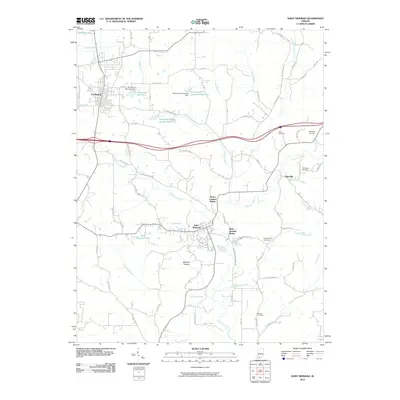
2010 Saint Meinrad
Perry County, IN
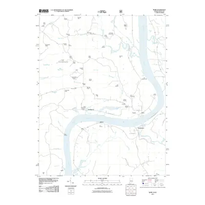
2011 Rome
Perry County, IN
2013 Branchville
Perry County, IN
2013 Bristow
Perry County, IN
2013 Derby
Perry County, IN
2013 Gatchel
Perry County, IN
2013 Rome
Perry County, IN
2013 Saint Meinrad
Perry County, IN
2016 Branchville
Perry County, IN
2016 Bristow
Perry County, IN
2016 Derby
Perry County, IN
2016 Gatchel
Perry County, IN
2016 Rome
Perry County, IN
2016 Saint Meinrad
Perry County, IN
2019 Branchville
Perry County, IN
2019 Bristow
Perry County, IN
2019 Derby
Perry County, IN
2019 Gatchel
Perry County, IN
2019 Rome
Perry County, IN
2019 Saint Meinrad
Perry County, IN
2022 Branchville
Perry County, IN
2022 Bristow
Perry County, IN
2022 Derby
Perry County, IN
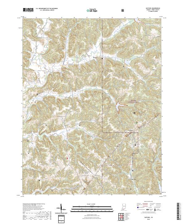
2022 Gatchel
Perry County, IN
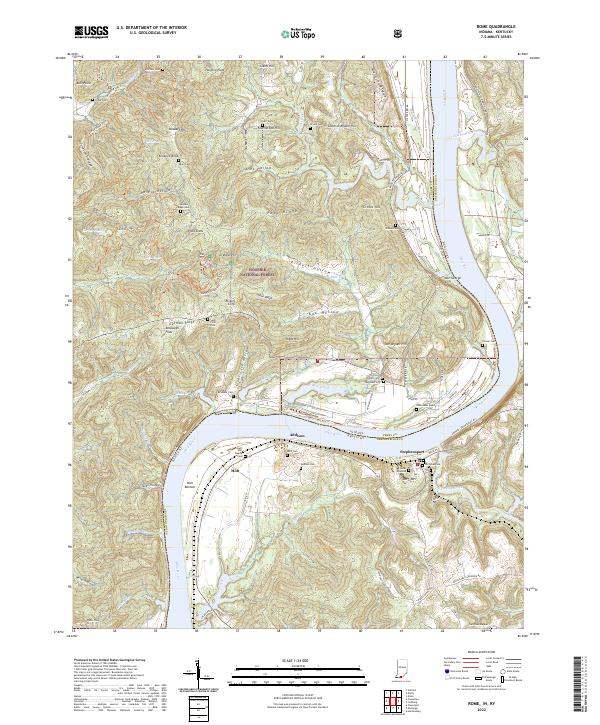
2022 Rome
Perry County, IN
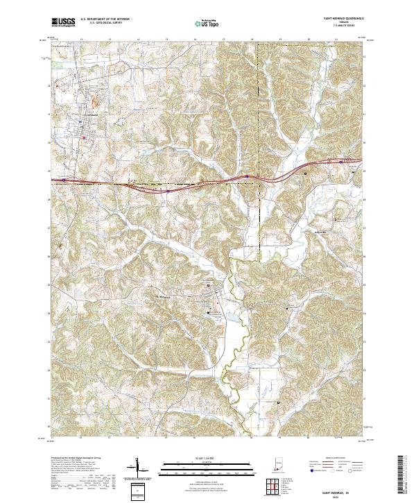
2022 Saint Meinrad
Perry County, IN