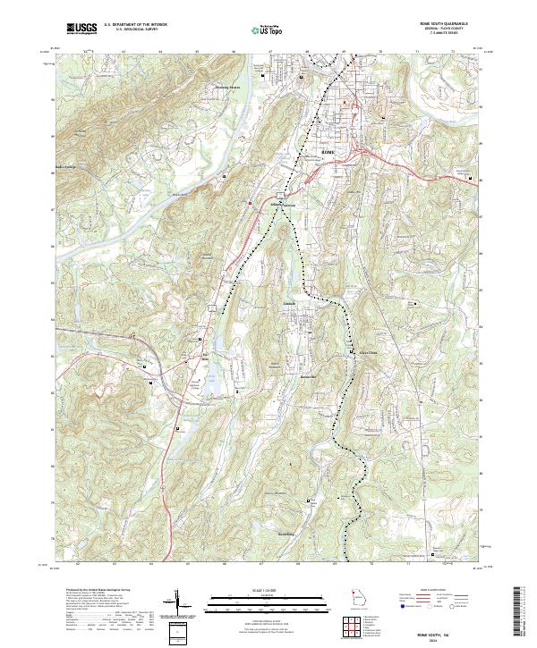
2024 Map of Rome South
USGS Topo · Published 2024About this map
The confluence of the Etowah River and Coosa River anchors this southern portion of Rome, where the urban grid gives way to the ridges and valleys of Floyd County. The landscape is defined by prominent elevations like Horseleg Mountain and Mt Alto, which overlook a series of smaller communities and junctions. To the south, Atlanta Junction and Lindale show the transition from industrial and residential corridors into the rural reaches of Boozeville and Silver Creek.
Find a feature on this map
212 named features on this map. Tap any name to fly to it.
Don’t see what you’re looking for? This feature index may not catch every label — zoom into the map to look around manually.
Map Details
Editions of this 2024 Rome South Map
This is the sole edition of this map. No revisions or reprints were ever made.
Historical Maps of Rome Through Time
14 maps found
1967 Livingston
Floyd County, GA
1967 Melson
Floyd County, GA
1967 Rock Mountain
Floyd County, GA
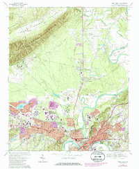
1967 Rome North
Floyd County, GA

1968 Armuchee
Floyd County, GA
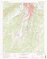
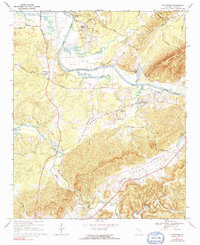
1968 Rome South
Floyd County, GA
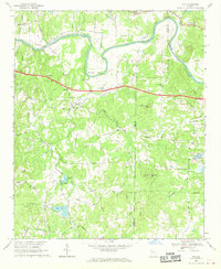
1968 Wax
Floyd County, GA
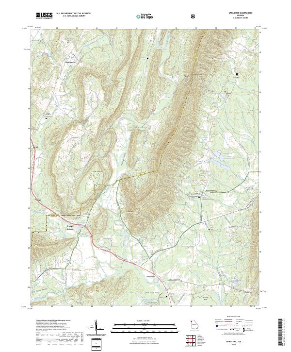
2024 Armuchee
Floyd County, GA
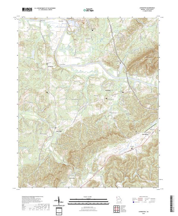
2024 Livingston
Floyd County, GA
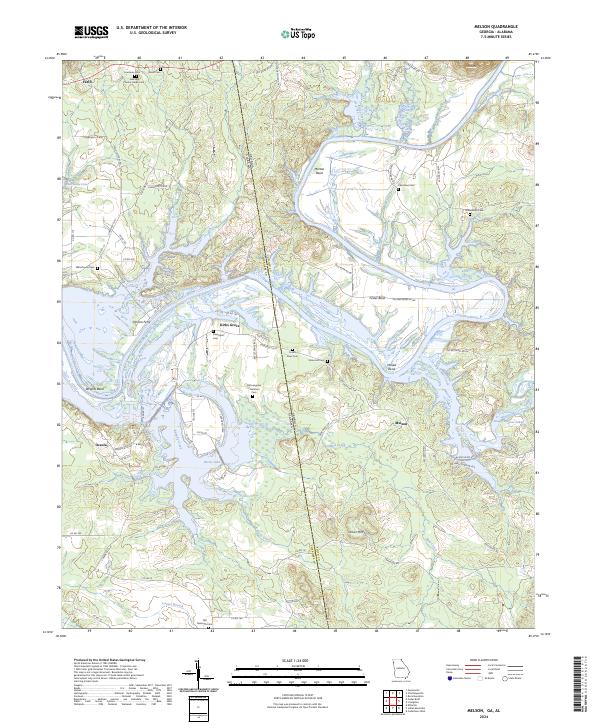
2024 Melson
Floyd County, GA
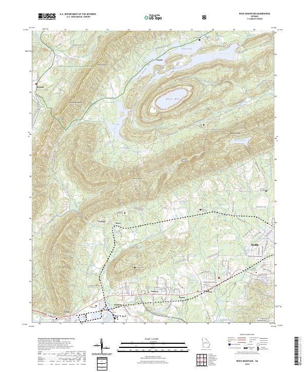
2024 Rock Mountain
Floyd County, GA
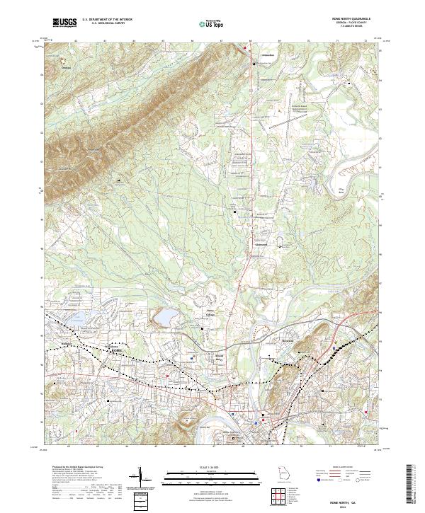
2024 Rome North
Floyd County, GA
2024 Rome South
Floyd County, GA
2024 Wax
Floyd County, GA