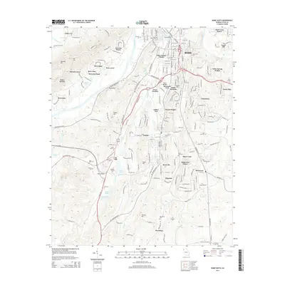
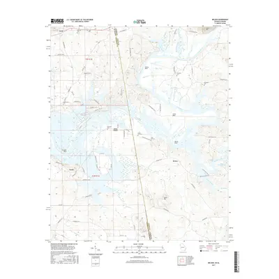
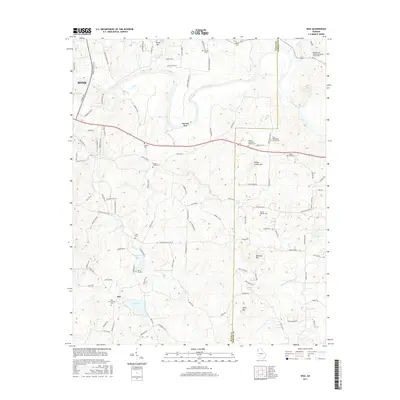
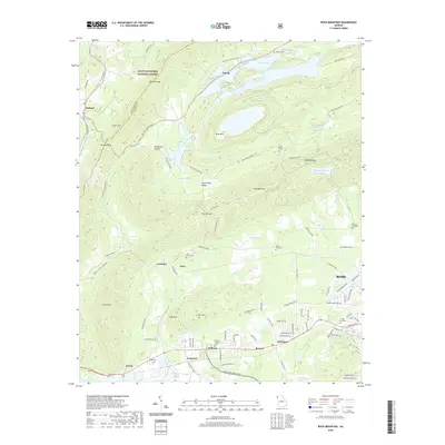
1968 Map of Wax
USGS Topo · Published 1970About this map
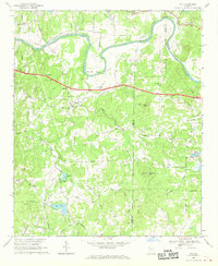
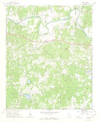
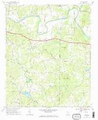
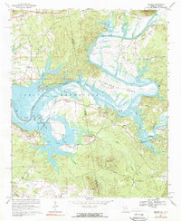
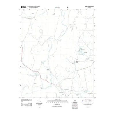
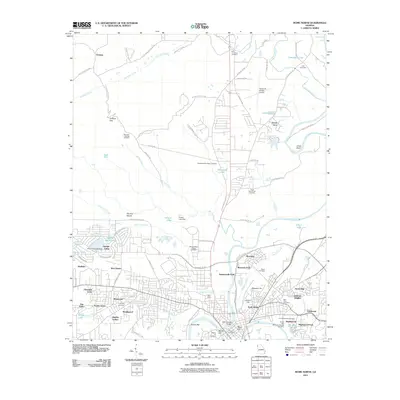
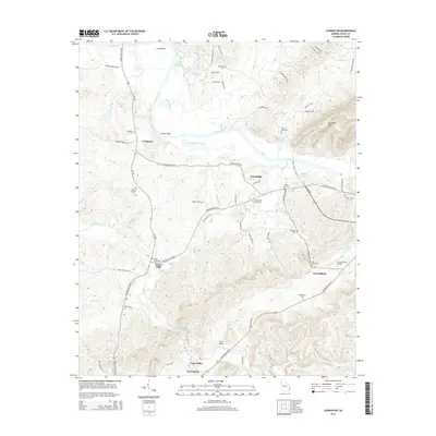
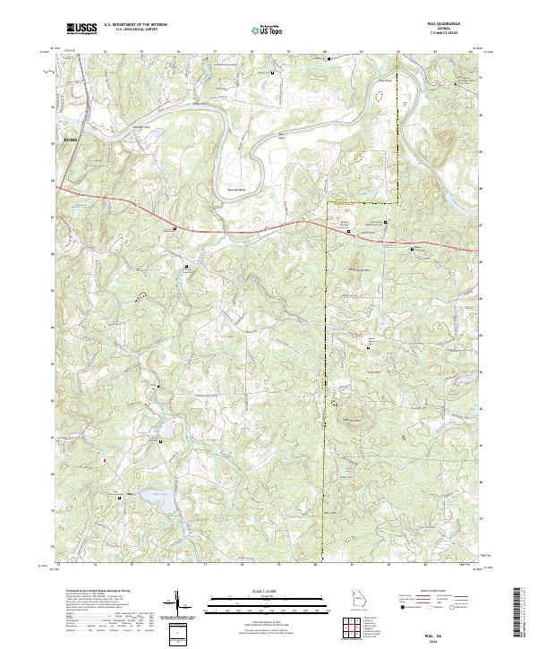
The Etowah River carves a deep loop through the northern landscape of this 1968 survey, creating a prominent horseshoe at Reynolds Bend. This region, split by the Floyd and Bartow county line, is defined by its network of rural congregations and small family-named ridges. Settlements like Wax are anchored by social landmarks such as Silver Creek Ch, Spring Hill Ch, and Turner Chapel. The terrain rises sharply from the riverbanks to heights like Yellow Jacket Mtn and Mullinax Mtn, the latter featuring a dedicated Lookout Tower.
Find a feature on this map
45 named features on this map. Tap any name to fly to it.
Don’t see what you’re looking for? This feature index may not catch every label — zoom into the map to look around manually.
Map Details
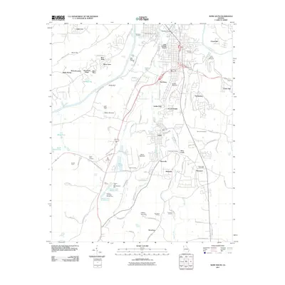
Editions of this 1968 Wax Map
3 editions found
Historical Maps of Rome Through Time
42 maps found
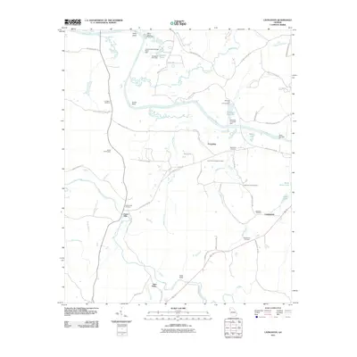
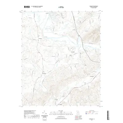
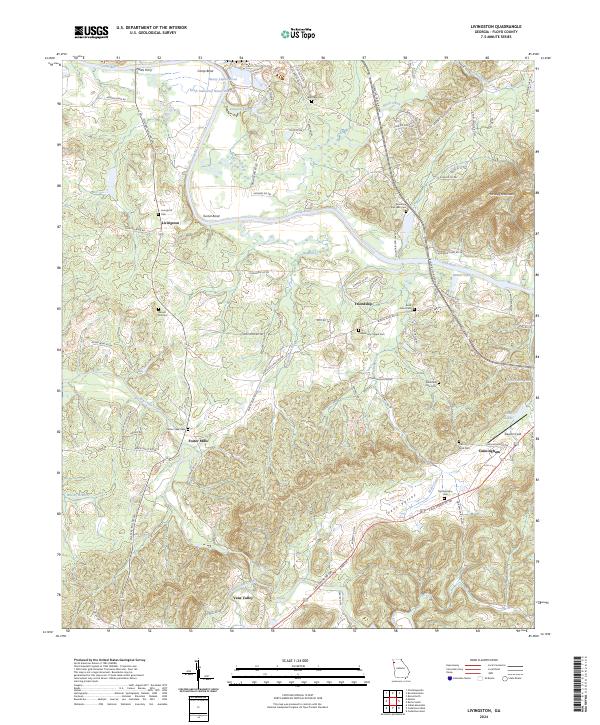
1967 Livingston
Floyd County, GA
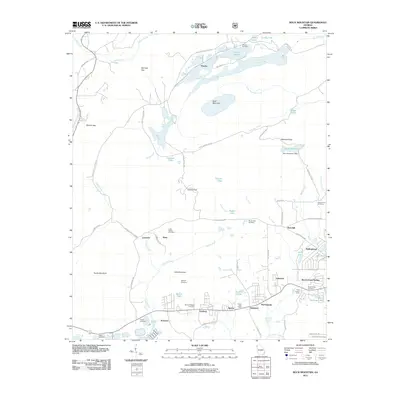
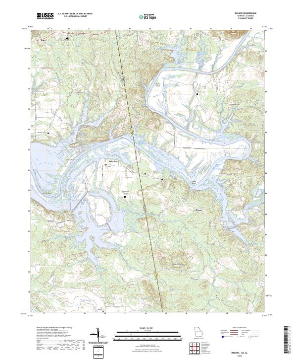
1967 Melson
Floyd County, GA
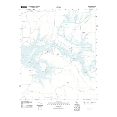
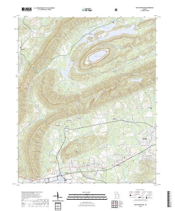
1967 Rock Mountain
Floyd County, GA
1967 Rome North
Floyd County, GA

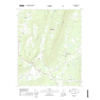
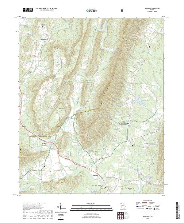
1968 Armuchee
Floyd County, GA
1968 Rome South
Floyd County, GA
1968 Wax
Floyd County, GA
2011 Armuchee
Floyd County, GA
2011 Livingston
Floyd County, GA
2011 Melson
Floyd County, GA
2011 Rock Mountain
Floyd County, GA
2011 Rome North
Floyd County, GA
2011 Rome South
Floyd County, GA
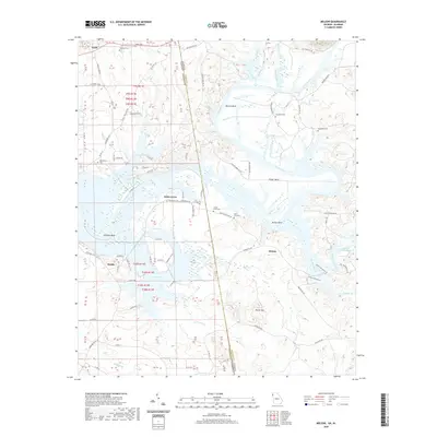
2011 Wax
Floyd County, GA
2014 Armuchee
Floyd County, GA
2014 Livingston
Floyd County, GA
2014 Melson
Floyd County, GA
2014 Rock Mountain
Floyd County, GA
2014 Rome North
Floyd County, GA
2014 Rome South
Floyd County, GA
2014 Wax
Floyd County, GA
2017 Armuchee
Floyd County, GA
2017 Livingston
Floyd County, GA
2017 Melson
Floyd County, GA
2017 Rock Mountain
Floyd County, GA
2017 Rome North
Floyd County, GA
2017 Rome South
Floyd County, GA
2017 Wax
Floyd County, GA
2020 Armuchee
Floyd County, GA
2020 Livingston
Floyd County, GA
2020 Melson
Floyd County, GA
2020 Rock Mountain
Floyd County, GA
2020 Rome North
Floyd County, GA
2020 Rome South
Floyd County, GA
2020 Wax
Floyd County, GA
2024 Armuchee
Floyd County, GA
2024 Livingston
Floyd County, GA
2024 Melson
Floyd County, GA
2024 Rock Mountain
Floyd County, GA
2024 Rome North
Floyd County, GA
2024 Rome South
Floyd County, GA
2024 Wax
Floyd County, GA