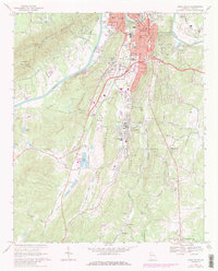
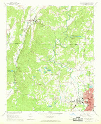
1968 Map of Rome South
USGS Topo · Published 1986About this map
Rome serves as the industrial and transport anchor at the northern edge of this landscape, where the Etowah River and Coosa River define the city's geography. The map reveals a post-war pattern of southern development, showing the transition from the urban core to manufacturing centers like Lindale, home to a massive Reservoir and the Pepperell High Sch. Between the ridges of Horseleg Mountain and Walker Mountain, the terrain is marked by the influence of the Southern railroad and several named valleys, including Vans Valley and Pleasant Valley. Local history is preserved in the detailed mapping of communities such as Boozeville and Silver Creek, alongside rural landmarks like the Drive-in Theater at Six Mile and numerous country churches, including Antioch Ch and New Bethel Ch. This late-1960s perspective captures a moment before modern suburbanization fully altered the rural road networks like Old Marion Road and Blacks Bluff Road.
Find a feature on this map
86 named features on this map. Tap any name to fly to it.
Don’t see what you’re looking for? This feature index may not catch every label — zoom into the map to look around manually.
Map Details
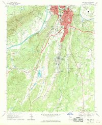
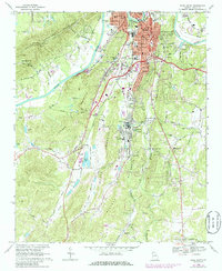
Editions of this 1968 Rome South Map
3 editions found
Other maps of this area

1886 · Rome
USGS Topo · 1:125,000

1898 · Rome
USGS Topo · 1:125,000

1899 · Rome
USGS Topo · 1:125,000

1904 · Rome
USGS Topo · 1:125,000

1955 · Rome
USGS Topo · 1:250,000

1958 · Rome
USGS Topo · 1:250,000

1961 · Rome
USGS Topo · 1:250,000

1963 · Rome
USGS Topo · 1:250,000
1967 · Rock Mountain
USGS Topo · 1:24,000
1967 · Cedartown West
USGS Topo · 1:24,000