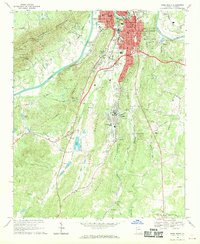
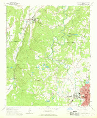
1968 Map of Rome South
USGS Topo · Published 1970About this map
The confluence of the Etowah River and Coosa River anchors the industrial and transport hub of Rome in the late 1960s. The landscape is defined by the prominent ridges of Horseleg Mountain and Walker Mountain, which channel development into the fertile Vans Valley and Eden Valley. This era shows the city's infrastructure in transition, with Atlanta Junction serving as a critical rail node for the Southern Railway and Central of Georgia RR.
Find a feature on this map
63 named features on this map. Tap any name to fly to it.
Don’t see what you’re looking for? This feature index may not catch every label — zoom into the map to look around manually.
Map Details
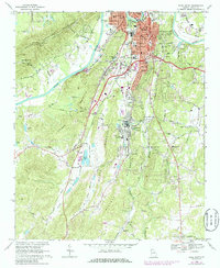
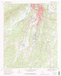
Editions of this 1968 Rome South Map
3 editions found
Other maps of this area

1886 · Rome
USGS Topo · 1:125,000

1898 · Rome
USGS Topo · 1:125,000

1899 · Rome
USGS Topo · 1:125,000

1904 · Rome
USGS Topo · 1:125,000

1955 · Rome
USGS Topo · 1:250,000

1958 · Rome
USGS Topo · 1:250,000

1961 · Rome
USGS Topo · 1:250,000

1963 · Rome
USGS Topo · 1:250,000
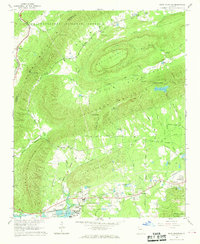
1967 · Rock Mountain
USGS Topo · 1:24,000
1967 · Cedartown West
USGS Topo · 1:24,000