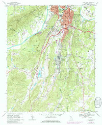
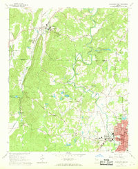
1968 Map of Rome South
USGS Topo · Published 1986About this map
The Etowah River and Coosa River converge near the heart of Rome, anchoring a landscape where industrial growth met rural ridges in the mid-to-late 20th century. This survey documents the expansion of Lindale and the smaller outlying communities of Silver Creek and Boozeville at a time when the region's textile and manufacturing foundations were still highly visible. The industrial character of the valley is evident at Atlanta Junction, where the Southern and Central of Georgia rail lines intersected to facilitate regional trade.
Find a feature on this map
70 named features on this map. Tap any name to fly to it.
Don’t see what you’re looking for? This feature index may not catch every label — zoom into the map to look around manually.
Map Details
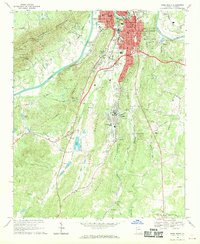
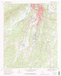
Editions of this 1968 Rome South Map
3 editions found
Other maps of this area

1886 · Rome
USGS Topo · 1:125,000

1898 · Rome
USGS Topo · 1:125,000

1899 · Rome
USGS Topo · 1:125,000

1904 · Rome
USGS Topo · 1:125,000

1955 · Rome
USGS Topo · 1:250,000

1958 · Rome
USGS Topo · 1:250,000

1961 · Rome
USGS Topo · 1:250,000

1963 · Rome
USGS Topo · 1:250,000
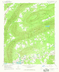
1967 · Rock Mountain
USGS Topo · 1:24,000
1967 · Cedartown West
USGS Topo · 1:24,000