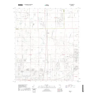
2018 Map of Romeo
USGS Topo · Published 2018About this map
Romeo and Hoyt anchor this Marion County landscape, situated near the Levy County line. The terrain is defined by a series of distinct limestone depressions and wet prairies typical of the North Central Florida karst environment. Features such as Pine Island Prairie and Dry Cow House Prairie illustrate the localized drainage patterns, where seasonal water levels dictate the use of the land. For genealogists and local historians, Zion Hill Cem serves as a significant landmark of the area's rural heritage.
Find a feature on this map
27 named features on this map. Tap any name to fly to it.
Don’t see what you’re looking for? This feature index may not catch every label — zoom into the map to look around manually.
Map Details
Editions of this 2018 Romeo Map
This is the sole edition of this map. No revisions or reprints were ever made.
Other maps of this area

1892 · Dunnellon
USGS Topo · 1:62,500

1894 · Dunnellon
USGS Topo · 1:62,500

1895 · Williston
USGS Topo · 1:62,500

1954 · Romeo
USGS Topo · 1:24,000

1954 · Dunnellon
USGS Topo · 1:24,000

1954 · Cotton Plant
USGS Topo · 1:24,000

1954 · Dunnellon SE
USGS Topo · 1:24,000

1954 · Yankeetown SE
USGS Topo · 1:24,000

1954 · Dunnellon
USGS Topo · 1:62,500

1954 · Gainesville
USGS Topo · 1:250,000