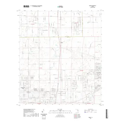
2021 Map of Romeo
USGS Topo · Published 2021About this map
Romeo and its surrounding countryside in Marion County reveal a landscape defined by an intricate network of wetlands and namesake ponds. This 2021 survey illustrates the modern residential footprints of Rainbow Lakes Estates and Rainbow Park, which contrast with the older rural character of the region. The map documents significant hydrologic features like Dry Cow House Prairie, Pine Island Prairie, and Little Pine Island Prairie, which sit alongside numerous local water bodies such as Buck Pond and Mooney Pond. Genealogists and local historians will find the location of the Zion Hill Cem a valuable point of reference in an area that balances growing residential developments with traditional agricultural and natural boundaries, including the line between Levy and Marion counties.
Find a feature on this map
121 named features on this map. Tap any name to fly to it.
Don’t see what you’re looking for? This feature index may not catch every label — zoom into the map to look around manually.
Map Details
Editions of this 2021 Romeo Map
This is the sole edition of this map. No revisions or reprints were ever made.
Other maps of this area

1892 · Dunnellon
USGS Topo · 1:62,500

1894 · Dunnellon
USGS Topo · 1:62,500

1895 · Williston
USGS Topo · 1:62,500

1954 · Romeo
USGS Topo · 1:24,000

1954 · Dunnellon
USGS Topo · 1:24,000

1954 · Cotton Plant
USGS Topo · 1:24,000

1954 · Dunnellon SE
USGS Topo · 1:24,000

1954 · Yankeetown SE
USGS Topo · 1:24,000

1954 · Dunnellon
USGS Topo · 1:62,500

1954 · Gainesville
USGS Topo · 1:250,000