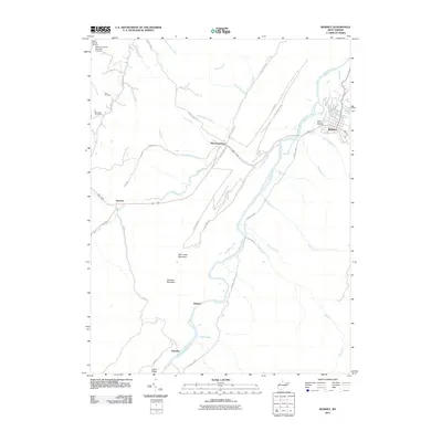
2011 Map of Romney
USGS Topo · Published 2011About this map
The South Branch Potomac River snakes through this West Virginia landscape, anchoring the historic settlement of Romney. The terrain is defined by prominent ridges such as Mill Creek Mountain and Fairview Mountain, which dictate the paths of numerous waterways including Mill Creek and McDowell Run. Local history is preserved in several small burial grounds across the quadrangle, notably the Indian Mound Cemetery near the riverbanks and the more remote Miller McCarty Cemetery to the northwest. Small communities and named junctions like Mechanicsburg, Junction, and the curiously named Pancake illustrate the rural settlement patterns typical of Hampshire County. Significant infrastructure, such as the Patterson Creek Structure 27 Dam, highlights the 21st-century water management efforts in the region, while a network of rural routes like Foxes Hollow Rd and High Mountain Rd connect these dispersed mountain hamlets.
Find a feature on this map
46 named features on this map. Tap any name to fly to it.
Don’t see what you’re looking for? This feature index may not catch every label — zoom into the map to look around manually.
Map Details
Editions of this 2011 Romney Map
This is the sole edition of this map. No revisions or reprints were ever made.
Other maps of this area

1891 · Romney
USGS Topo · 1:125,000

1920 · Moorefield
USGS Topo · 1:62,500

1920 · Keyser
USGS Topo · 1:62,500

1921 · Keyser
USGS Topo · 1:48,000

1921 · Hanging Rock
USGS Topo · 1:48,000

1921 · Moorefield
USGS Topo · 1:48,000

1922 · Moorefield
USGS Topo · 1:62,500

1922 · Wardensville
USGS Topo · 1:62,500

1922 · Keyser
USGS Topo · 1:62,500

1923 · Hanging Rock
USGS Topo · 1:62,500