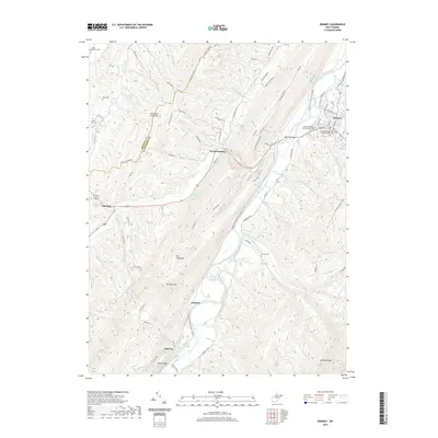
2019 Map of Romney
USGS Topo · Published 2019About this map
Romney sits at a historic crossing of the South Branch Potomac River, where the Romney Bridge connects the town to the rising slopes of Mechanicsburg and the gaps through the mountains. This region of the Potomac Highlands is defined by a series of parallel ridges, including Patterson Creek Mtn and Mill Creek Mtn, which funnel travel and settlement along the river valley and its tributaries like Mill Creek and Buffalo Run.
Find a feature on this map
89 named features on this map. Tap any name to fly to it.
Don’t see what you’re looking for? This feature index may not catch every label — zoom into the map to look around manually.
Map Details
Editions of this 2019 Romney Map
This is the sole edition of this map. No revisions or reprints were ever made.
Other maps of this area

1891 · Romney
USGS Topo · 1:125,000

1920 · Moorefield
USGS Topo · 1:62,500

1920 · Keyser
USGS Topo · 1:62,500

1921 · Keyser
USGS Topo · 1:48,000

1921 · Hanging Rock
USGS Topo · 1:48,000

1921 · Moorefield
USGS Topo · 1:48,000

1922 · Moorefield
USGS Topo · 1:62,500

1922 · Wardensville
USGS Topo · 1:62,500

1922 · Keyser
USGS Topo · 1:62,500

1923 · Hanging Rock
USGS Topo · 1:62,500