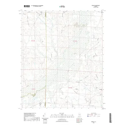
2018 Map of Romulus
USGS Topo · Published 2018About this map
The Sipsey River meanders through a landscape of expansive wetlands and small farming communities in this 2018 survey. The northern reaches are dominated by the Sipsey Swamp, a complex hydraulic environment fed by Elrod Ct and Beaverdam Br. This area shows a pattern of high-density rural cemeteries, including Mount Olive Cem and Backbone Cem, which indicate long-standing family settlements along the high ground bordering the river valley. In the southern portion of the quadrangle, the community of Jena sits near the Greene and Tuscaloosa county lines, while Romulus serves as a local hub to the east. The terrain is marked by numerous small drainage basins like Malone Mill Cr and Hammer Cr, illustrating the rugged, dissected nature of the hills that rise above the river's floodplain.
Find a feature on this map
74 named features on this map. Tap any name to fly to it.
Don’t see what you’re looking for? This feature index may not catch every label — zoom into the map to look around manually.
Map Details
Editions of this 2018 Romulus Map
This is the sole edition of this map. No revisions or reprints were ever made.
Other maps of this area

1924 · Tuscaloosa
USGS Topo · 1:62,500

1926 · Samantha
USGS Topo · 1:48,000

1926 · Tuscaloosa
USGS Topo · 1:62,500

1928 · Samantha
USGS Topo · 1:62,500

1953 · Birmingham
USGS Topo · 1:250,000

1956 · Birmingham
USGS Topo · 1:250,000

1957 · Birmingham
USGS Topo · 1:250,000

1967 · Gordo
USGS Topo · 1:24,000

1967 · Elrod
USGS Topo · 1:24,000
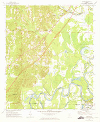
1969 · Fosters
USGS Topo · 1:24,000