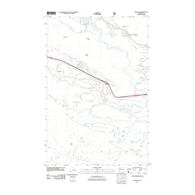
2011 Map of Ronald
USGS Topo · Published 2011About this map
The Roslyn Cascade Mine 4 and Number 3 Canyon highlight the industrial history of this Kittitas County corridor, where the settlement of Ronald sits just south of the Cle Elum River. This 2011 survey captures the transition from historic mining operations to modern recreation near Cle Elum Dam, showing a landscape shaped by both resource extraction and water management. Further west, the terrain rises sharply toward the Easton Ridge Lookout, overlooking the Domerie Flats and the valley where the Yakima River flows. Small rail-side locations like Lavender and Nelson punctuate the transportation lines that parallel the river, while the southern portion of the map is dominated by the steep slopes of Hicks Butte and the drainages of Butte Creek and North Fork Taneum Creek.
Find a feature on this map
83 named features on this map. Tap any name to fly to it.
Don’t see what you’re looking for? This feature index may not catch every label — zoom into the map to look around manually.
Map Details
Editions of this 2011 Ronald Map
This is the sole edition of this map. No revisions or reprints were ever made.
Other maps of this area

1897 · Mount Stuart
USGS Topo · 1:125,000

1901 · Snoqualmie Pass
USGS Topo · 1:125,000

1902 · Mount Stuart
USGS Topo · 1:125,000

1903 · Snoqualmie
USGS Topo · 1:125,000

1957 · Wenatchee
USGS Topo · 1:250,000

1958 · Cle Elum
USGS Topo · 1:62,500

1961 · Mount Stuart
USGS Topo · 1:62,500

1961 · Easton
USGS Topo · 1:62,500

1961 · Kachess Lake
USGS Topo · 1:62,500

1975 · Snoqualmie Pass
USGS Topo · 1:100,000