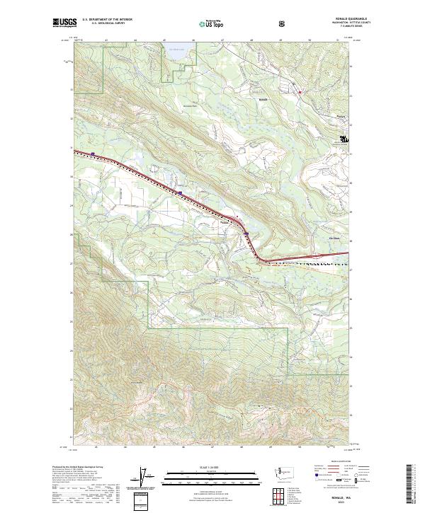
2023 Map of Ronald
USGS Topo · Published 2023About this map
Ronald and Roslyn anchor the eastern edge of this landscape, situated at the base of Easton Ridge where the forested slopes of the Wenatchee National Forest meet the Yakima River valley. The map documents a corridor of significant local heritage, most notably the Historic Roslyn Cemetery Complex, which serves as a vital record of the multi-ethnic mining communities that once defined the region. To the west, the terrain rises sharply from Domerie Flats toward high points like Hicks Butte and the South Cle Elum Ridge, divided by drainage systems such as Little Creek and Nelson Creek. Transportation patterns here reflect both industrial history and modern recreation, featuring the John Wayne Trl following an old rail grade, and a dense network of forest roads like Nat For Dev Rd 4303 and Nat For Dev Rd 201 that penetrate the mountain backcountry near Cle Elum Lake.
Find a feature on this map
117 named features on this map. Tap any name to fly to it.
Don’t see what you’re looking for? This feature index may not catch every label — zoom into the map to look around manually.
Map Details
Editions of this 2023 Ronald Map
This is the sole edition of this map. No revisions or reprints were ever made.
Other maps of this area

1897 · Mount Stuart
USGS Topo · 1:125,000

1901 · Snoqualmie Pass
USGS Topo · 1:125,000

1902 · Mount Stuart
USGS Topo · 1:125,000

1903 · Snoqualmie
USGS Topo · 1:125,000

1957 · Wenatchee
USGS Topo · 1:250,000

1958 · Cle Elum
USGS Topo · 1:62,500

1961 · Mount Stuart
USGS Topo · 1:62,500

1961 · Easton
USGS Topo · 1:62,500

1961 · Kachess Lake
USGS Topo · 1:62,500

1975 · Snoqualmie Pass
USGS Topo · 1:100,000