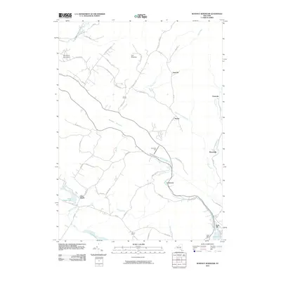
2010 Map of Rondout Reservoir
USGS Topo · Published 2010About this map
Rondout Reservoir dominates this landscape, held in check by the Merriman Dam near the hamlet of Lackawack. The terrain is defined by dramatic elevations such as the Kalonymus Escarpment and East Mountain, which oversee a network of rural routes including Yagerville RD and Lackawack Hill RD. Smaller settlements like Sholam and Yagerville are positioned along the waterways of Trout Creek and Rondout Creek.
Find a feature on this map
57 named features on this map. Tap any name to fly to it.
Don’t see what you’re looking for? This feature index may not catch every label — zoom into the map to look around manually.
Map Details
Editions of this 2010 Rondout Reservoir Map
This is the sole edition of this map. No revisions or reprints were ever made.
Other maps of this area

1903 · Slide Mountain
USGS Topo · 1:62,500

1904 · Ellenville
USGS Topo · 1:62,500

1905 · Slide Mountain
USGS Topo · 1:62,500

1906 · Ellenville
USGS Topo · 1:62,500

1909 · Monticello
USGS Topo · 1:62,500

1910 · Neversink
USGS Topo · 1:62,500

1911 · Monticello
USGS Topo · 1:62,500

1942 · West Shokan
USGS Topo · 1:24,000

1942 · Neversink
USGS Topo · 1:62,500

1942 · Lackawack
USGS Topo · 1:24,000