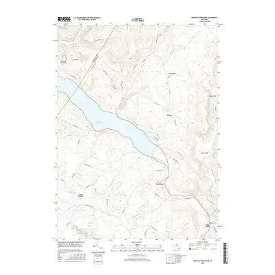
2016 Map of Rondout Reservoir
USGS Topo · Published 2016About this map
Rondout Reservoir dominates the center of this landscape, a massive body of water following the valley floor between the Sullivan and Ulster county line. The surrounding terrain is defined by dramatic elevation shifts, from the Kalonymus Escarpment in the northwest to the high peaks of E Mtn. Small settlements and clusters of homes are scattered throughout these highlands, including Yagerville, Sholam, and Potterville. These communities are connected by a network of winding mountain roads like Lackawack Hill Rd and Yaegerville Rd.
Find a feature on this map
68 named features on this map. Tap any name to fly to it.
Don’t see what you’re looking for? This feature index may not catch every label — zoom into the map to look around manually.
Map Details
Editions of this 2016 Rondout Reservoir Map
This is the sole edition of this map. No revisions or reprints were ever made.
Other maps of this area

1903 · Slide Mountain
USGS Topo · 1:62,500

1904 · Ellenville
USGS Topo · 1:62,500

1905 · Slide Mountain
USGS Topo · 1:62,500

1906 · Ellenville
USGS Topo · 1:62,500

1909 · Monticello
USGS Topo · 1:62,500

1910 · Neversink
USGS Topo · 1:62,500

1911 · Monticello
USGS Topo · 1:62,500

1942 · West Shokan
USGS Topo · 1:24,000

1942 · Neversink
USGS Topo · 1:62,500

1942 · Lackawack
USGS Topo · 1:24,000