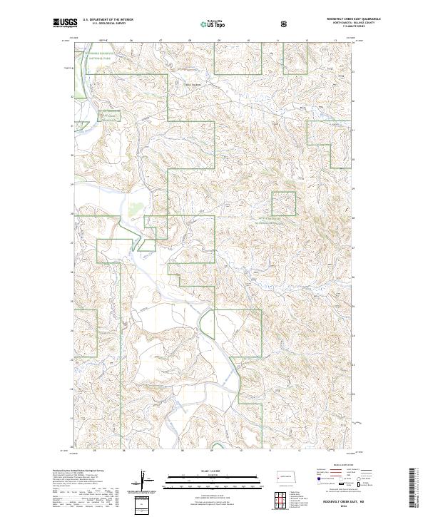
2024 Map of Roosevelt Creek East
USGS Topo · Published 2024About this map
The Little Missouri River carves a deep path through the North Dakota badlands, anchoring this survey of the rugged Billings County interior. Within the boundaries of Theodore Roosevelt National Park and the surrounding Little Missouri National Grassland, the terrain is defined by a dense network of drainages including Roosevelt Creek, Mikes Creek, and Blacktail Creek. The landscape is dominated by elevation markers like Black Top Butte, providing a detailed look at the erosional patterns and plateaus characteristic of this region.
Find a feature on this map
19 named features on this map. Tap any name to fly to it.
Don’t see what you’re looking for? This feature index may not catch every label — zoom into the map to look around manually.
Map Details
Editions of this 2024 Roosevelt Creek East Map
This is the sole edition of this map. No revisions or reprints were ever made.
Other maps of this area

1953 · Watford City
USGS Topo · 1:250,000

1957 · Watford City
USGS Topo · 1:250,000

1963 · Gorham SW
USGS Topo · 1:24,000

1963 · Gorham NW
USGS Topo · 1:24,000

1967 · Watford City
USGS Topo · 1:250,000

1970 · Eagle Draw
USGS Topo · 1:24,000

1970 · Hanks Gully
USGS Topo · 1:24,000

1970 · Wannagan Creek East
USGS Topo · 1:24,000

1970 · Roosevelt Creek East
USGS Topo · 1:24,000

1974 · Squaretop Butte
USGS Topo · 1:24,000