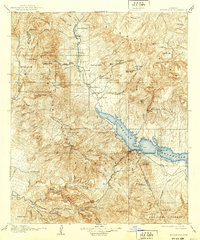
1912 Map of Roosevelt
USGS Topo · Published 1939About this map
Roosevelt Dam stands as the central engineering feat on this landscape, holding back the waters of the Salt River and Tonto Creek to form the Roosevelt Reservoir. Surveyed between 1905 and 1907, the map documents the region's transition into a managed water system, while still preserving the layout of scattered pioneer outposts like Howell's Ranch and Clanton's Ranch. The topography is dominated by the massive Sierra Ancha range and the distinctive profile of Four Peaks, marking the boundary between Gila and Maricopa counties.
Find a feature on this map
83 named features on this map. Tap any name to fly to it.
Don’t see what you’re looking for? This feature index may not catch every label — zoom into the map to look around manually.
Map Details
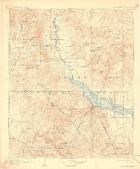
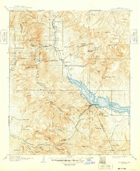
Editions of this 1912 Roosevelt Map
4 editions found

Other maps of this area

1886 · Holbrook
USGS Topo · 1:250,000

1887 · Verde
USGS Topo · 1:250,000

1892 · Verde
USGS Topo · 1:250,000

1893 · Holbrook
USGS Topo · 1:250,000

1900 · Florence
USGS Topo · 1:125,000

1901 · Globe
USGS Topo · 1:62,500

1902 · Globe
USGS Topo · 1:62,500

1902 · Florence
USGS Topo · 1:125,000

1904 · Desert Well
USGS Topo · 1:62,500

1904 · Ft. McDowell
USGS Topo · 1:62,500