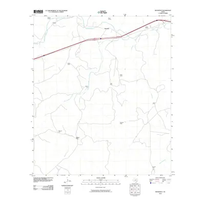
2010 Map of Roosevelt
USGS Topo · Published 2010About this map
Roosevelt and the surrounding ranchlands of Kimble County are defined by the winding course of the North Llano River and its numerous tributaries. The landscape is characterized by a series of high ridges and deep draws, including Patterson Ridge and Reick Draw, which have historically dictated the placement of local homesteads and travel routes. Named family properties such as Maynard Ranch, Holland Ranch, and Mansfield Ranch are scattered throughout the region, illustrating the long-standing agricultural and pastoral heritage of this part of Texas.
Find a feature on this map
19 named features on this map. Tap any name to fly to it.
Don’t see what you’re looking for? This feature index may not catch every label — zoom into the map to look around manually.
Map Details
Editions of this 2010 Roosevelt Map
This is the sole edition of this map. No revisions or reprints were ever made.
Other maps of this area

1893 · Rock Springs
USGS Topo · 1:125,000

1893 · Fort McKavett
USGS Topo · 1:125,000

1926 · Segovia 2-c
USGS Topo · 1:48,000

1932 · Junction
USGS Topo · 1:62,500

1954 · Llano
USGS Topo · 1:250,000

1954 · Sonora
USGS Topo · 1:250,000

1955 · Llano
USGS Topo · 1:250,000

1956 · Llano
USGS Topo · 1:250,000

1958 · Sonora
USGS Topo · 1:250,000

1962 · Hill Ranch
USGS Topo · 1:24,000