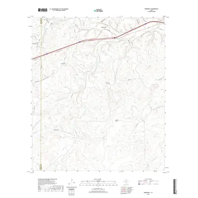
2019 Map of Roosevelt
USGS Topo · Published 2019About this map
Roosevelt serves as the primary settlement on this landscape, situated near the confluence of the North Llano River and Maynard Cr. This modern survey illustrates a rugged ranching environment where the high ground of Patterson Ridge and Cedar Hill is cut by numerous ephemeral drainage ways such as Reick Draw and Deep Hollow. The transportation network is defined by the corridor of Old Hwy 290 and its modern bypass, reflecting the evolution of travel through the Texas Hill Country. Genealogists and local historians can find family-named landmarks like Joes Point and Cedar Knob, alongside the Cedar Hill Cem located just north of the river. The southern portion of the map is particularly topographic, showing the distinct passage at Mexican Gap and the meandering path of Bois D'Arc Cr as it flows toward the eastern boundary.
Find a feature on this map
44 named features on this map. Tap any name to fly to it.
Don’t see what you’re looking for? This feature index may not catch every label — zoom into the map to look around manually.
Map Details
Editions of this 2019 Roosevelt Map
This is the sole edition of this map. No revisions or reprints were ever made.
Other maps of this area

1893 · Rock Springs
USGS Topo · 1:125,000

1893 · Fort McKavett
USGS Topo · 1:125,000

1926 · Segovia 2-c
USGS Topo · 1:48,000

1932 · Junction
USGS Topo · 1:62,500

1954 · Llano
USGS Topo · 1:250,000

1954 · Sonora
USGS Topo · 1:250,000

1955 · Llano
USGS Topo · 1:250,000

1956 · Llano
USGS Topo · 1:250,000

1958 · Sonora
USGS Topo · 1:250,000

1962 · Hill Ranch
USGS Topo · 1:24,000