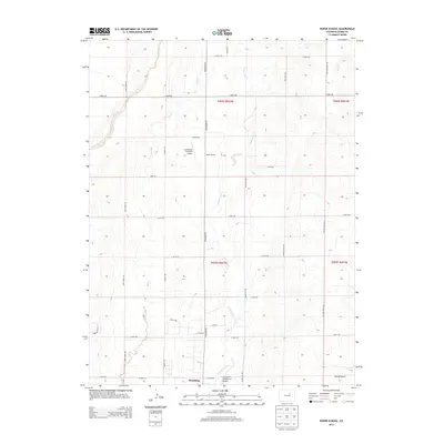
2013 Map of Roper School
USGS Topo · Published 2013About this map
Strasburg lies at the southern edge of this high plains landscape, where the town's northward expansion meets the rural expanses of Adams County. The map documents a transition between organized residential streets and large-scale agricultural and aviation operations. This era of land use is clearly marked by specialized infrastructure, including the Comanche Livestock Airport and the Comanche Airfield LLC Airport, reflecting the region's reliance on both livestock transport and private aviation.
Find a feature on this map
38 named features on this map. Tap any name to fly to it.
Don’t see what you’re looking for? This feature index may not catch every label — zoom into the map to look around manually.
Map Details
Editions of this 2013 Roper School Map
This is the sole edition of this map. No revisions or reprints were ever made.
Other maps of this area

1949 · Sunnydale
USGS Topo · 1:24,000

1949 · Bennett
USGS Topo · 1:24,000

1950 · Roper School
USGS Topo · 1:24,000

1951 · Roper School
USGS Topo · 1:24,000

1951 · Living Springs
USGS Topo · 1:24,000

1951 · Leader NW
USGS Topo · 1:24,000

1952 · Leader SW
USGS Topo · 1:24,000

1953 · Denver
USGS Topo · 1:250,000

1955 · Strasburg NW
USGS Topo · 1:24,000

1955 · Strasburg
USGS Topo · 1:24,000