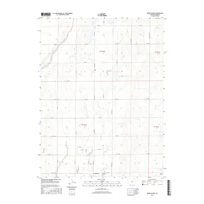
2016 Map of Roper School
USGS Topo · Published 2016About this map
Strasburg anchors the southern portion of this high-plains landscape, where the agricultural grid meets the winding drainages of the Colorado territory. The terrain is defined by the north-flowing waters of Comanche Cr and Wolf Cr, which carve subtle relief into the section lines of Adams County. To the north, the Roper School stands as a local landmark along Strasburg Rd, representing the long-standing educational infrastructure of this rural community.
Find a feature on this map
44 named features on this map. Tap any name to fly to it.
Don’t see what you’re looking for? This feature index may not catch every label — zoom into the map to look around manually.
Map Details
Editions of this 2016 Roper School Map
This is the sole edition of this map. No revisions or reprints were ever made.
Other maps of this area

1949 · Sunnydale
USGS Topo · 1:24,000

1949 · Bennett
USGS Topo · 1:24,000

1950 · Roper School
USGS Topo · 1:24,000

1951 · Roper School
USGS Topo · 1:24,000

1951 · Living Springs
USGS Topo · 1:24,000

1951 · Leader NW
USGS Topo · 1:24,000

1952 · Leader SW
USGS Topo · 1:24,000

1953 · Denver
USGS Topo · 1:250,000

1955 · Strasburg NW
USGS Topo · 1:24,000

1955 · Strasburg
USGS Topo · 1:24,000