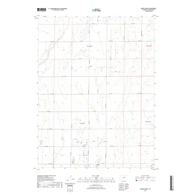
2019 Map of Roper School
USGS Topo · Published 2019About this map
Roper School stands at the heart of this rural landscape in Adams County, anchoring a region defined by agricultural sections and intermittent waterways. The terrain is shaped by the drainage patterns of Kiowa Creek to the west and Comanche Cr through the center, while Spring Gulch carves through the southeastern corner. A rigid grid of section-line roads, including Strasburg Rd and Irondale Rd, dictates the local geography, reflecting the enduring legacy of the Public Land Survey System. Modern development is sparse but notable at the Comanche Airfield LLC near the southern boundary. To the northeast, uniquely named routes like Pass Me By Rd and Yellow Jacket Rd provide access to higher ground near Mule Cr, illustrating the transition from open range to localized homesteads and rural infrastructure.
Find a feature on this map
44 named features on this map. Tap any name to fly to it.
Don’t see what you’re looking for? This feature index may not catch every label — zoom into the map to look around manually.
Map Details
Editions of this 2019 Roper School Map
This is the sole edition of this map. No revisions or reprints were ever made.
Other maps of this area

1949 · Sunnydale
USGS Topo · 1:24,000

1949 · Bennett
USGS Topo · 1:24,000

1950 · Roper School
USGS Topo · 1:24,000

1951 · Roper School
USGS Topo · 1:24,000

1951 · Living Springs
USGS Topo · 1:24,000

1951 · Leader NW
USGS Topo · 1:24,000

1952 · Leader SW
USGS Topo · 1:24,000

1953 · Denver
USGS Topo · 1:250,000

1955 · Strasburg NW
USGS Topo · 1:24,000

1955 · Strasburg
USGS Topo · 1:24,000