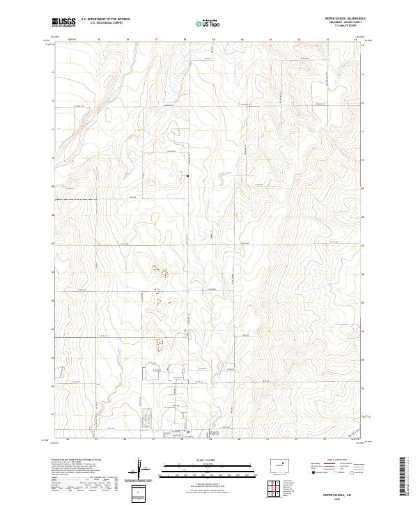
2022 Map of Roper School
USGS Topo · Published 2022About this map
Kiowa Creek and Wolf Creek define the drainage patterns of this high plains landscape in Adams County, where a strict section-line grid of rural roads governs the territory. This contemporary survey reveals a transition from open agricultural land toward modern logistical footprints, most notably the Comanche Airfield LLC located near the intersection of E 26th Ave and Strasburg Rd. The terrain is marked by seasonal watercourses like Comanche Cr and Mule Cr, which cut through the gently sloping elevations. Significant thoroughfares such as Irondale Rd and Headlight Rd connect the scattered homesteads and industrial sites, while Spring Gulch drains the southeastern corner. The map captures the persistent geometry of the Public Land Survey System, with township and range lines like t2s r62w overlaying a landscape of increasing suburban and utility development.
Find a feature on this map
49 named features on this map. Tap any name to fly to it.
Don’t see what you’re looking for? This feature index may not catch every label — zoom into the map to look around manually.
Map Details
Editions of this 2022 Roper School Map
This is the sole edition of this map. No revisions or reprints were ever made.
Other maps of this area

1949 · Sunnydale
USGS Topo · 1:24,000

1949 · Bennett
USGS Topo · 1:24,000

1950 · Roper School
USGS Topo · 1:24,000

1951 · Roper School
USGS Topo · 1:24,000

1951 · Living Springs
USGS Topo · 1:24,000

1951 · Leader NW
USGS Topo · 1:24,000

1952 · Leader SW
USGS Topo · 1:24,000

1953 · Denver
USGS Topo · 1:250,000

1955 · Strasburg NW
USGS Topo · 1:24,000

1955 · Strasburg
USGS Topo · 1:24,000