
1954 Map of Rosa
USGS Topo · Published 1956About this map
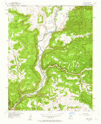
The San Juan River defines this landscape in northern Rio Arriba County, flowing through a series of dramatic canyon systems. The small community of Rosa is the primary settlement, centered near the Santa Rosa Ch and a local Cem. This mid-century topography reveals a rural economy dependent on both water management and emerging energy exploration, evidenced by the presence of the Miller Ditch and Mentzel Ditch alongside several Gas Wells.
Find a feature on this map
20 named features on this map. Tap any name to fly to it.
Don’t see what you’re looking for? This feature index may not catch every label — zoom into the map to look around manually.
Map Details
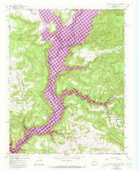
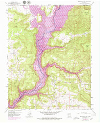
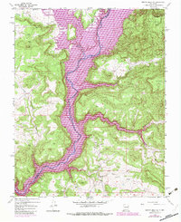
Editions of this 1954 Rosa Map
5 editions found
Other maps of this area

1889 · Largo
USGS Topo · 1:250,000

1895 · Largo
USGS Topo · 1:250,000

1908 · Ignacio
USGS Topo · 1:125,000

1924 · Ignacio
USGS Topo · 1:125,000

1924 · Pagosa Springs
USGS Topo · 1:125,000

1927 · Pagosa Springs
USGS Topo · 1:125,000

1945 · Durango
USGS Topo · 1:250,000

1953 · Durango
USGS Topo · 1:250,000

1954 · Durango
USGS Topo · 1:250,000

1954 · Allison
USGS Topo · 1:24,000