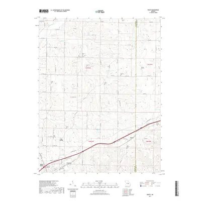
2017 Map of Rosati
USGS Topo · Published 2017About this map
The town of St James and the community of Rosati anchor this section of the Ozark Highlands, where the land begins its roll toward the Bourbeuse River in the north. The area is defined by a dense concentration of local family history, evidenced by more than a dozen burial sites scattered through the hills and hollows. Notable markers of the region's heritage include the Attebery - Fort Cem and the Dawson Cem, alongside more formal sites like the Saint James Veterans Home Cem.
Find a feature on this map
90 named features on this map. Tap any name to fly to it.
Don’t see what you’re looking for? This feature index may not catch every label — zoom into the map to look around manually.
Map Details
Editions of this 2017 Rosati Map
This is the sole edition of this map. No revisions or reprints were ever made.
Other maps of this area

1903 · Sullivan
USGS Topo · 1:125,000

1928 · Meramec Spring
USGS Topo · 1:62,500

1932 · Steelville
USGS Topo · 1:48,000

1933 · Steelville
USGS Topo · 1:62,500

1934 · Redbird
USGS Topo · 1:62,500

1937 · Steelville
USGS Topo · 1:62,500

1938 · Redbird
USGS Topo · 1:62,500

1948 · Cuba
USGS Topo · 1:24,000

1948 · Oak Hill
USGS Topo · 1:24,000

1949 · Saint Louis
USGS Topo · 1:250,000