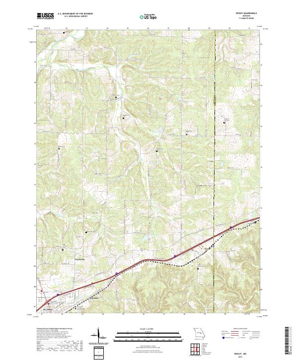
2021 Map of Rosati
USGS Topo · Published 2021About this map
The settlement of Rosati and the eastern edge of St. James anchor this portion of the Ozark Highlands in the early 2020s. This agricultural and rolling woodland landscape is densely marked with family and community burial grounds, reflecting the deep-rooted local history of Phelps County. Notable sites include the Saint Anthony Cem, Dawson Cem, and the Saint James Veterans Home Cem. The terrain is defined by the headwaters of the Bourbeuse River and a network of creeks including Clear Cr and Robinson Cr, which feed several small bodies of water like Cardetti Lake and Seliga Lake. A complex system of county roads and private drives, such as Skouby Rd and Dawson Cemetery Rd, provides access to these rural farmsteads and historic family plots, illustrating the enduring nature of the area's rural settlement patterns.
Find a feature on this map
65 named features on this map. Tap any name to fly to it.
Don’t see what you’re looking for? This feature index may not catch every label — zoom into the map to look around manually.
Map Details
Editions of this 2021 Rosati Map
This is the sole edition of this map. No revisions or reprints were ever made.
Other maps of this area

1903 · Sullivan
USGS Topo · 1:125,000

1928 · Meramec Spring
USGS Topo · 1:62,500

1932 · Steelville
USGS Topo · 1:48,000

1933 · Steelville
USGS Topo · 1:62,500

1934 · Redbird
USGS Topo · 1:62,500

1937 · Steelville
USGS Topo · 1:62,500

1938 · Redbird
USGS Topo · 1:62,500

1948 · Cuba
USGS Topo · 1:24,000

1948 · Oak Hill
USGS Topo · 1:24,000

1949 · Saint Louis
USGS Topo · 1:250,000