Loading...
Loading map...2024 Map of Roscoe
USGS Topo · Published 2024About this map
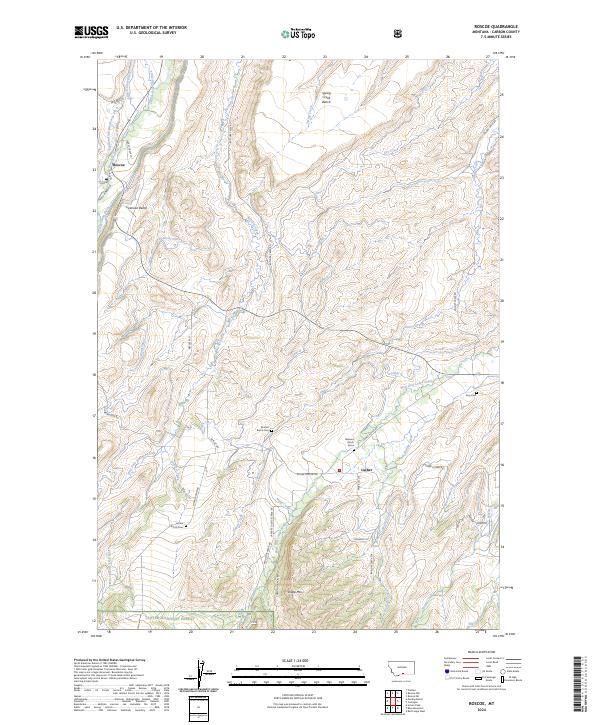
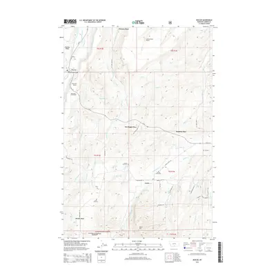
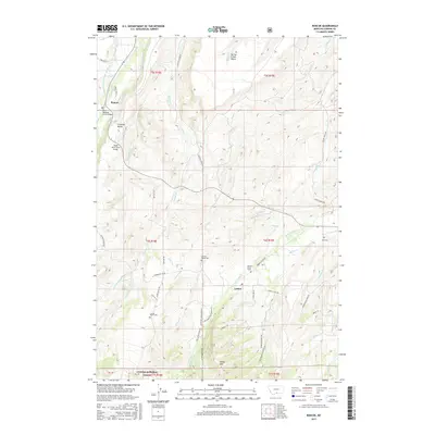
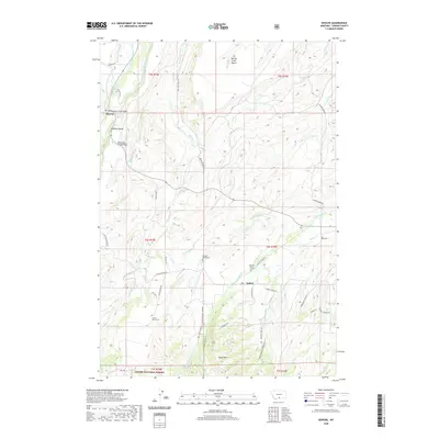
East Rosebud Creek and its complex network of irrigation channels define this high-plains landscape in Carbon County, Montana. The map illustrates a ranching economy where water is managed through numerous named waterways like Peabody Ditch, Selleck-Scott Ditch, and Espeland-Ostrum-George Ditch. Settlement is concentrated at Roscoe and Luther, linked by the Luther-Roscoe Rd and surrounded by benches and peaks including Sheep Mtn and Coleman Bench.
Find a feature on this map
59 named features on this map. Tap any name to fly to it.
Don’t see what you’re looking for? This feature index may not catch every label — zoom into the map to look around manually.
Map Details
Date Portrayed2024
Date Published2024
PublisherU.S. Geological Survey
Map TypeTopographic
Scale1:24,000
Physical Dimensions24 x 29 inches
Editions of this 2024 Roscoe Map
This is the sole edition of this map. No revisions or reprints were ever made.
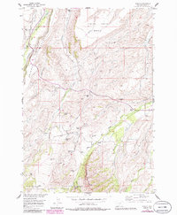
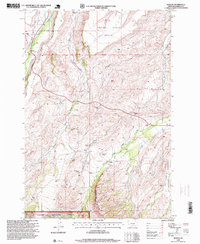
Historical Maps of Alex Boggio Place Through Time
7 maps found
Featured Locations
Source Details
SourceU.S. Geological Survey
CopyrightPublic Domain