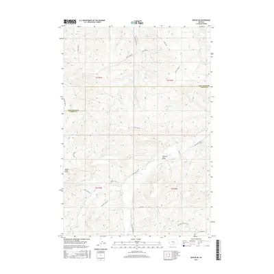
2017 Map of Roscoe NE
USGS Topo · Published 2017About this map
Saint Olaf Cem sits within a landscape defined by the drainage network of the Beartooth foothills, where the Stillwater and Carbon County lines meet. This high-plains terrain is marked by the prominent Spring Creek Bench to the west and a series of watercourses including Whitebird Cr, Chapman Cr, and the winding Red Lodge Cr. The irrigation and water management infrastructure of the region is evident in features such as Canal S, Lateral N, and Dry Cr. Local transportation is anchored by a rural road network following the section lines and topography, with named routes like Red Lodge Creek Rd and Volney Creek Rd connecting the scattered homesteads. The Red Lodge Creek Bridge serves as a specific landmark for navigating the creek's path through the southern townships of this Montana territory.
Find a feature on this map
28 named features on this map. Tap any name to fly to it.
Don’t see what you’re looking for? This feature index may not catch every label — zoom into the map to look around manually.
Map Details
Editions of this 2017 Roscoe NE Map
This is the sole edition of this map. No revisions or reprints were ever made.
Other maps of this area

1892 · Stillwater
USGS Topo · 1:125,000

1932 · Red Lodge No 2
USGS Topo · 1:48,000

1932 · Red Lodge No 1
USGS Topo · 1:48,000

1954 · Billings
USGS Topo · 1:250,000

1955 · Whitebird School
USGS Topo · 1:24,000

1955 · Absarokee
USGS Topo · 1:24,000

1956 · Roscoe
USGS Topo · 1:24,000

1956 · Shane Ridge
USGS Topo · 1:24,000

1956 · Roscoe NW
USGS Topo · 1:24,000

1956 · Roscoe NE
USGS Topo · 1:24,000