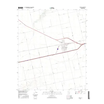
2016 Map of Roscoe
USGS Topo · Published 2016About this map
Roscoe serves as the primary hub of activity in this West Texas survey, defined by its grid of streets and position at a critical transportation junction. The town is situated where several major routes converge, including a bypass and service road system that frames the community. Outside the town center, the landscape is divided into large sections by a network of rural roads like Co RD 170 and Co RD 138, reflecting the agricultural and ranching heritage of Nolan County. Water resources are scarce but significant, with Cottonwood Cr and Rough Cr providing drainage across the plains. The presence of specialized infrastructure such as the H and H Conditioning Tank and H and H Feedlot Tank north of town highlights the area's cattle industry operations. For genealogists, the Roscoe Cem is located just northeast of the main settlement.
Find a feature on this map
62 named features on this map. Tap any name to fly to it.
Don’t see what you’re looking for? This feature index may not catch every label — zoom into the map to look around manually.
Map Details
Editions of this 2016 Roscoe Map
This is the sole edition of this map. No revisions or reprints were ever made.
Other maps of this area

1893 · Roby
USGS Topo · 1:125,000

1893 · Sweetwater
USGS Topo · 1:125,000

1954 · Big Spring
USGS Topo · 1:250,000

1958 · Big Spring
USGS Topo · 1:250,000

1969 · Baumann School
USGS Topo · 1:24,000

1969 · Busby
USGS Topo · 1:24,000

1969 · Bench Mountain
USGS Topo · 1:24,000

1969 · Loraine
USGS Topo · 1:24,000

1969 · Bernecker
USGS Topo · 1:24,000

1969 · Roscoe
USGS Topo · 1:24,000