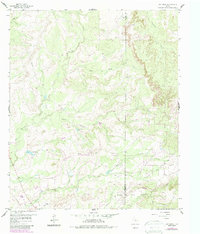
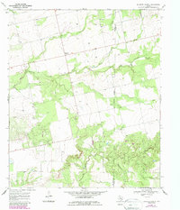
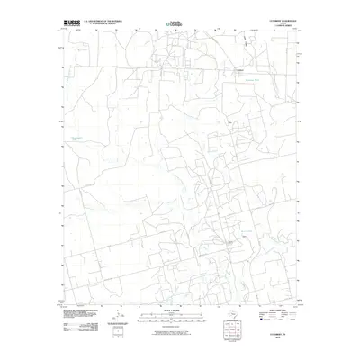
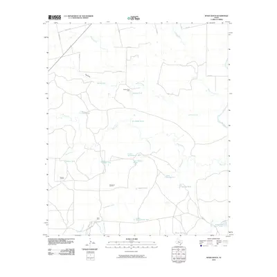
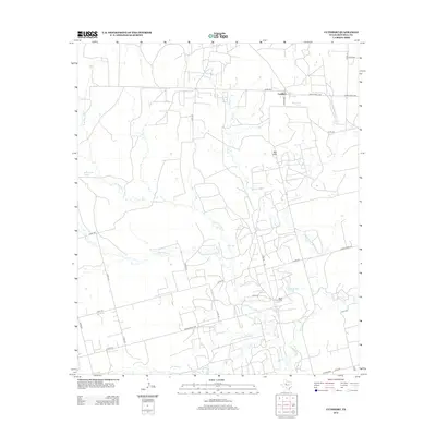
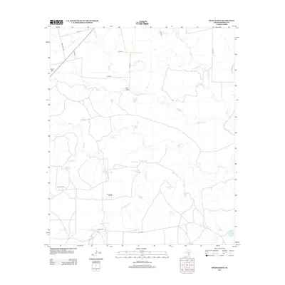
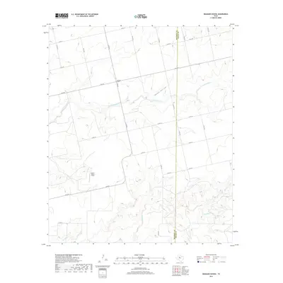
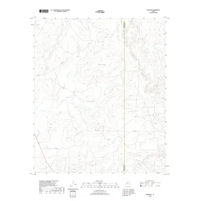
1969 Map of Baumann School
USGS Topo · Published 1972About this map
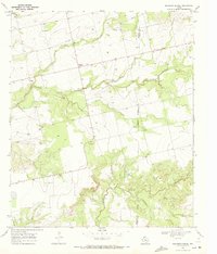
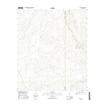
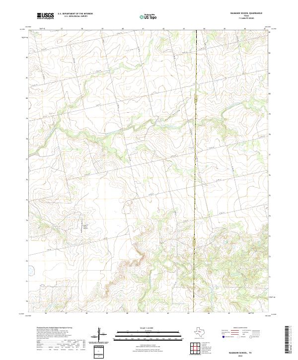
Baumann School sits at the heart of this Mitchell County landscape, serving as a focal point for the surrounding rural community in the late 1960s. The terrain is defined by a dense network of seasonal drainages, including South Fork Champion Creek and Hanks Hollow, which carve through the plains. The southern portion of the sheet is particularly intricate, where Big Silver Creek and Cottonwood Creek converge amidst a series of localized breaks and draws.
Find a feature on this map
13 named features on this map. Tap any name to fly to it.
Don’t see what you’re looking for? This feature index may not catch every label — zoom into the map to look around manually.
Map Details
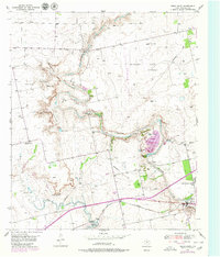
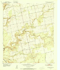
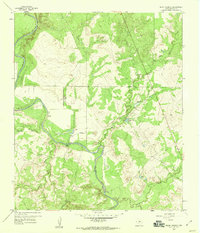
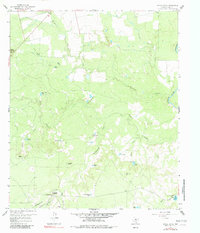
Editions of this 1969 Baumann School Map
2 editions found
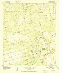
Historical Maps of Nolan County Through Time
48 maps found
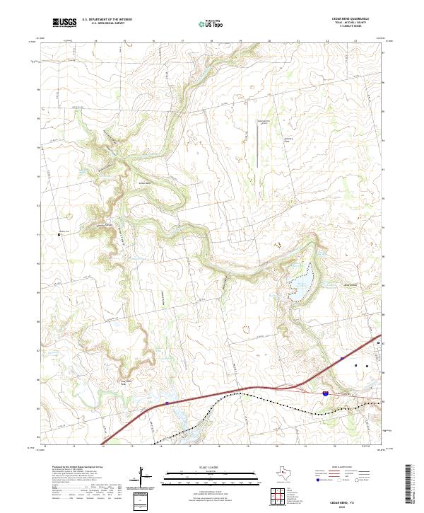
1950 Cedar Bend
Mitchell County, TX
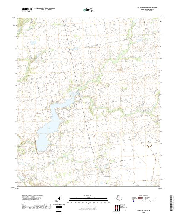
1950 Colorado City SE
Mitchell County, TX
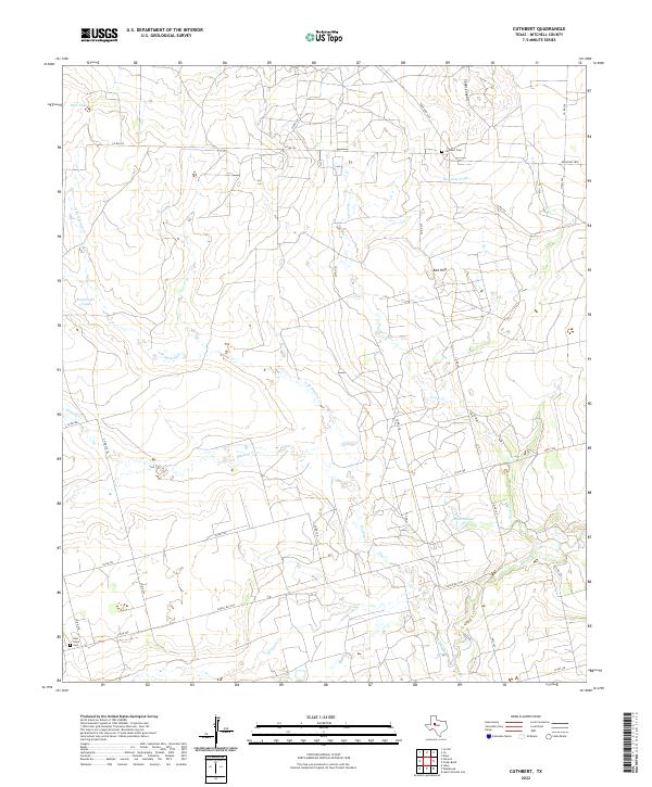
1952 Cuthbert
Mitchell County, TX
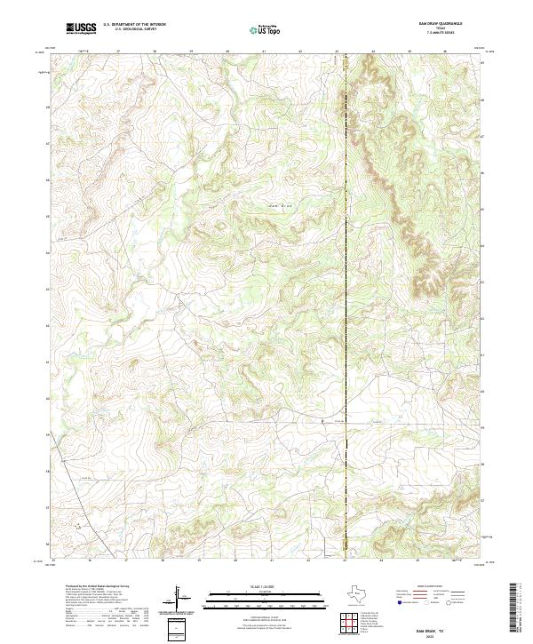
1959 Dam Draw
Mitchell County, TX
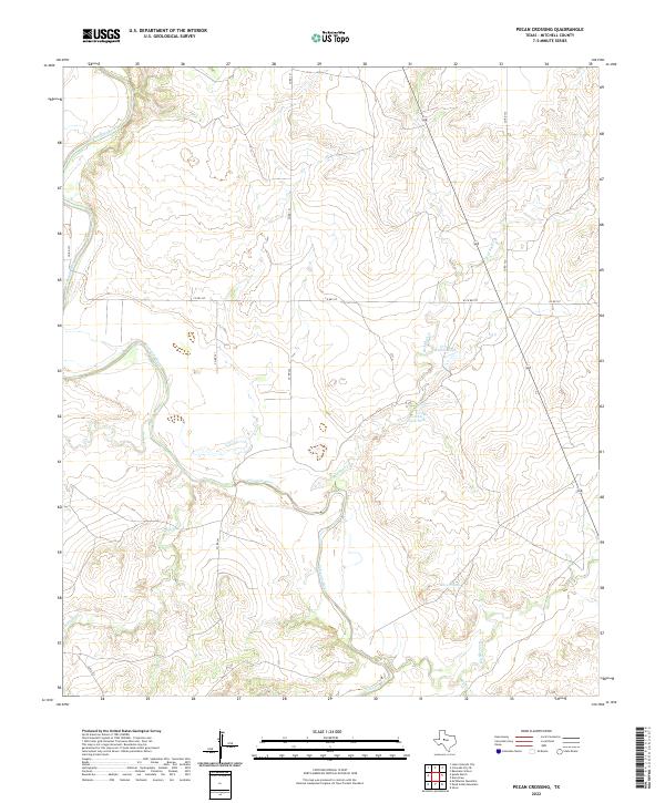
1959 Pecan Crossing
Mitchell County, TX
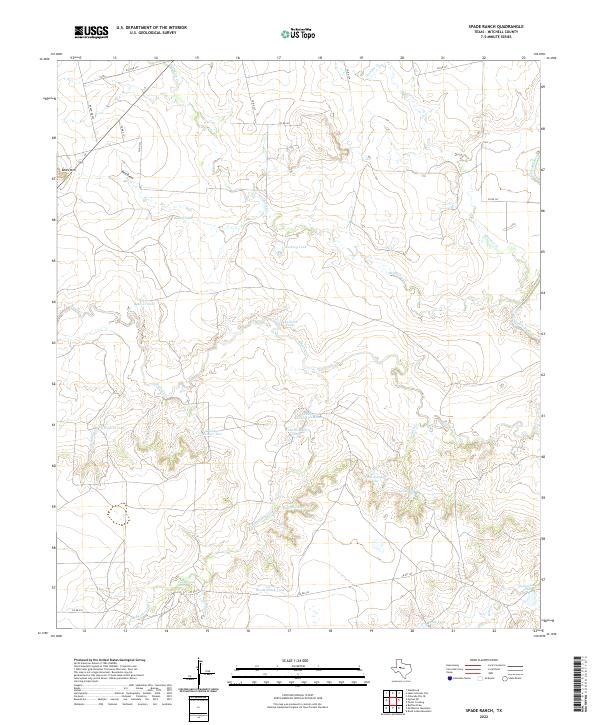
1959 Spade Ranch
Mitchell County, TX
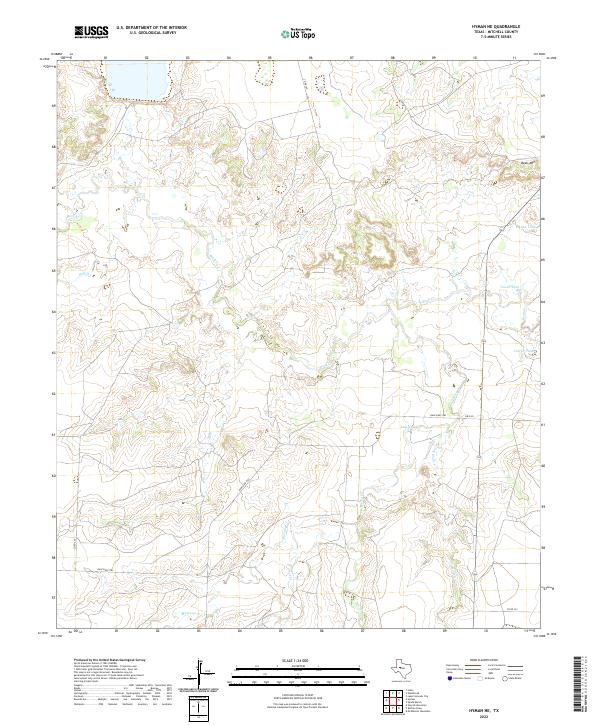
1962 Hyman NE
Mitchell County, TX
1969 Baumann School
Mitchell County, TX
2010 Baumann School
Mitchell County, TX
2010 Cedar Bend
Mitchell County, TX
2010 Colorado City SE
Mitchell County, TX
2010 Cuthbert
Mitchell County, TX
2010 Dam Draw
Mitchell County, TX
2010 Hyman NE
Mitchell County, TX
2010 Pecan Crossing
Mitchell County, TX
2010 Spade Ranch
Mitchell County, TX
2012 Baumann School
Mitchell County, TX
2012 Cedar Bend
Mitchell County, TX
2012 Colorado City SE
Mitchell County, TX
2012 Cuthbert
Mitchell County, TX
2012 Dam Draw
Mitchell County, TX
2012 Hyman NE
Mitchell County, TX
2012 Pecan Crossing
Mitchell County, TX
2012 Spade Ranch
Mitchell County, TX
2016 Baumann School
Mitchell County, TX

2016 Cedar Bend
Mitchell County, TX
2016 Colorado City SE
Mitchell County, TX
2016 Cuthbert
Mitchell County, TX
2016 Dam Draw
Mitchell County, TX
2016 Hyman NE
Mitchell County, TX
2016 Pecan Crossing
Mitchell County, TX
2016 Spade Ranch
Mitchell County, TX
2019 Baumann School
Mitchell County, TX
2019 Cedar Bend
Mitchell County, TX
2019 Colorado City SE
Mitchell County, TX
2019 Cuthbert
Mitchell County, TX
2019 Dam Draw
Mitchell County, TX
2019 Hyman NE
Mitchell County, TX
2019 Pecan Crossing
Mitchell County, TX
2019 Spade Ranch
Mitchell County, TX
2022 Baumann School
Mitchell County, TX
2022 Cedar Bend
Mitchell County, TX
2022 Colorado City SE
Mitchell County, TX
2022 Cuthbert
Mitchell County, TX
2022 Dam Draw
Mitchell County, TX
2022 Hyman NE
Mitchell County, TX
2022 Pecan Crossing
Mitchell County, TX
2022 Spade Ranch
Mitchell County, TX