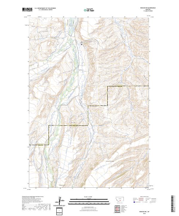
2024 Map of Roscoe NW
USGS Topo · Published 2024About this map
Rosebud Creek and its many tributaries define this high-country landscape along the border of Stillwater and Carbon counties. The complex network of irrigation channels, including the Eggen-Piper Ditch, Sylvester-Beady Ditch, and Selleck-Scott-Ditch, illustrates a long history of water management designed to support ranching on the flatlands. These ditches draw from major water bodies like West Rosebud Creek and East Rosebud Creek to transform the arid benches into productive territory.
Find a feature on this map
49 named features on this map. Tap any name to fly to it.
Don’t see what you’re looking for? This feature index may not catch every label — zoom into the map to look around manually.
Map Details
Editions of this 2024 Roscoe NW Map
This is the sole edition of this map. No revisions or reprints were ever made.
Other maps of this area

1891 · Big Timber
USGS Topo · 1:125,000

1892 · Stillwater
USGS Topo · 1:125,000

1893 · Big Timber
USGS Topo · 1:125,000

1898 · Granite Mountain District
USGS Topo · 1:125,000

1932 · Red Lodge No 2
USGS Topo · 1:48,000

1932 · Nye No 1
USGS Topo · 1:48,000

1954 · Billings
USGS Topo · 1:250,000

1955 · Sandborn Creek
USGS Topo · 1:24,000

1955 · Whitebird School
USGS Topo · 1:24,000

1955 · Absarokee
USGS Topo · 1:24,000