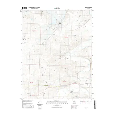
2015 Map of Roscoe
USGS Topo · Published 2015About this map
The Osage River and Sac River converge in this river-rich portion of western Missouri, where the settlements of Roscoe and Osage Heights occupy the high ground between the channels. The landscape is defined by the winding paths of these waterways and their numerous tributaries, including Coon Creek and Yarnell Br, which have carved out distinctive terrain features like Lutz Bluff, Venter Bluff, and the low-lying Happy Hollow.
Find a feature on this map
79 named features on this map. Tap any name to fly to it.
Don’t see what you’re looking for? This feature index may not catch every label — zoom into the map to look around manually.
Map Details
Editions of this 2015 Roscoe Map
This is the sole edition of this map. No revisions or reprints were ever made.
Other maps of this area

1886 · Stockton
USGS Topo · 1:125,000

1887 · Clinton
USGS Topo · 1:125,000

1894 · Clinton
USGS Topo · 1:125,000

1937 · Tiffin
USGS Topo · 1:31,680

1938 · Monegaw Springs
USGS Topo · 1:24,000

1938 · Roscoe
USGS Topo · 1:24,000

1938 · Vista
USGS Topo · 1:24,000

1938 · Taberville
USGS Topo · 1:24,000

1939 · Caplinger Mills
USGS Topo · 1:24,000

1939 · Osceola
USGS Topo · 1:24,000