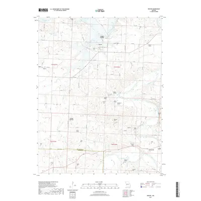
2017 Map of Roscoe
USGS Topo · Published 2017About this map
The Osage River and Sac River converge in this corner of St. Clair and Cedar Counties, defining a landscape shaped by bottomlands and distinctive bluff topography. The village of Roscoe serves as the central settlement, situated near the Pasley Airport and Roscoe Cem. The surrounding countryside is dotted with small rural communities and local landmarks, including Osage Heights to the north and Hardyville near the southern border. Genealogists will find a high concentration of burial sites throughout the terrain, such as Mound Cem, Fraley Cem, and Culbertson Cem. The land is further characterized by numerous bluffs and hills, with Buzzard Bluff and Keel Bluff overlooking the river bends, while Mayes Hill and Reader Hill mark the higher ground between the many creek drainages like Coon Creek and Yarnell Br.
Find a feature on this map
57 named features on this map. Tap any name to fly to it.
Don’t see what you’re looking for? This feature index may not catch every label — zoom into the map to look around manually.
Map Details
Editions of this 2017 Roscoe Map
This is the sole edition of this map. No revisions or reprints were ever made.
Other maps of this area

1886 · Stockton
USGS Topo · 1:125,000

1887 · Clinton
USGS Topo · 1:125,000

1894 · Clinton
USGS Topo · 1:125,000

1937 · Tiffin
USGS Topo · 1:31,680

1938 · Monegaw Springs
USGS Topo · 1:24,000

1938 · Roscoe
USGS Topo · 1:24,000

1938 · Vista
USGS Topo · 1:24,000

1938 · Taberville
USGS Topo · 1:24,000

1939 · Caplinger Mills
USGS Topo · 1:24,000

1939 · Osceola
USGS Topo · 1:24,000