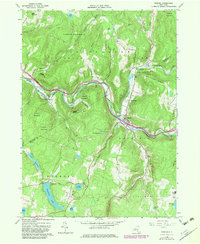
1965 Map of Roscoe
USGS Topo · Published 1983About this map
The confluence of Beaver Kill and Willowemoc Creek at Roscoe anchors this 1965 survey, documenting a region of the Catskills defined by its water and woods. The map shows the sprawling Catskill Park and Forest Preserve lands, punctuated by small settlements like Cooks Falls and Butternut Grove. This landscape is marked by substantial hydrological features, including the West Delaware Aqueduct running through the northern hills and several large recreational lakes such as Tennanah Lake and Lake Muskoday. Significant local landmarks include Riverview Cemetery, Bonaire Cemetery, and the Skytop Airport near the southern border. The transition between Delaware and Sullivan Counties is clearly delineated, showing how the river valleys shaped the early road networks and community development during the mid-20th century.
Find a feature on this map
48 named features on this map. Tap any name to fly to it.
Don’t see what you’re looking for? This feature index may not catch every label — zoom into the map to look around manually.
Map Details
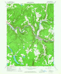
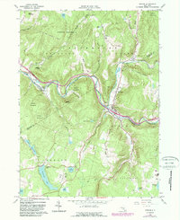
Editions of this 1965 Roscoe Map
3 editions found
Other maps of this area

1920 · Long Eddy
USGS Topo · 1:62,500

1921 · Long Eddy
USGS Topo · 1:48,000

1921 · Livingston Manor
USGS Topo · 1:62,500

1922 · Andes
USGS Topo · 1:62,500

1923 · Long Eddy
USGS Topo · 1:62,500

1923 · Walton
USGS Topo · 1:48,000

1923 · Livingston Manor
USGS Topo · 1:62,500

1924 · Andes
USGS Topo · 1:62,500

1925 · Walton
USGS Topo · 1:62,500

1943 · Honesdale
USGS Topo · 1:125,000