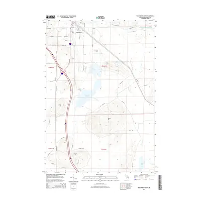
2014 Map of Roscommon South
USGS Topo · Published 2014About this map
Roscommon serves as the primary hub in this Michigan landscape, situated just north of a complex network of wetlands and elevation points. The geography is defined by a series of distinct heights, including Murray Hill, Sinkhole Hill, and Ninemile Hill, which overlook a drainage system led by the Robinson Cr. The intricate water patterns are most evident at the Robinson Cr Flooding, an expansive area that contrasts with the more contained waters of Robinson Lake and Bambi Lake.
Find a feature on this map
64 named features on this map. Tap any name to fly to it.
Don’t see what you’re looking for? This feature index may not catch every label — zoom into the map to look around manually.
Map Details
Editions of this 2014 Roscommon South Map
This is the sole edition of this map. No revisions or reprints were ever made.
Other maps of this area

1949 · Grayling
USGS Topo · 1:62,500

1950 · Roscommon North
USGS Topo · 1:24,000

1951 · Roscommon North
USGS Topo · 1:24,000

1951 · Pere Cheney
USGS Topo · 1:24,000

1954 · Traverse City
USGS Topo · 1:250,000

1958 · Traverse City
USGS Topo · 1:250,000

1963 · Roscommon South
USGS Topo · 1:24,000

1963 · Backus Lake
USGS Topo · 1:24,000

1963 · Eldorado
USGS Topo · 1:24,000

1963 · Prudenville
USGS Topo · 1:24,000