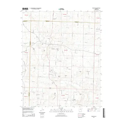
2014 Map of Rose Bud
USGS Topo · Published 2014About this map
Rose Bud sits at a critical junction of Arkansas state roads in the foothills where White, Faulkner, and Cleburne counties meet. The landscape is defined by small summits and hollows, including Bluff Mtn, Potter Hill, and the significant elevation of Starkey Mtn to the south. The rural character of the area is evident in the numerous small family and community burial grounds such as Martin Cem, Moon Cem, and the Rose Bud Cem near the center of the settlement. Waterways like Piney Cr, Cedar Cr, and Muddy Bayou carve through the terrain, supporting a network of local roads that follow the ridges and valleys. To the east, the map shows the community of Hart and several notable geographic features like Wortham Hill and Dripping Springs Hollow, illustrating the dispersed residential pattern of the region during the early 21st century.
Find a feature on this map
122 named features on this map. Tap any name to fly to it.
Don’t see what you’re looking for? This feature index may not catch every label — zoom into the map to look around manually.
Map Details
Editions of this 2014 Rose Bud Map
This is the sole edition of this map. No revisions or reprints were ever made.
Other maps of this area

1953 · Memphis
USGS Topo · 1:250,000

1956 · Memphis
USGS Topo · 1:250,000

1956 · Russellville
USGS Topo · 1:250,000

1963 · Rose Bud
USGS Topo · 1:24,000

1963 · Floyd
USGS Topo · 1:24,000

1963 · Quitman
USGS Topo · 1:24,000

1963 · West Pangburn
USGS Topo · 1:24,000

1963 · Enola
USGS Topo · 1:24,000

1963 · Mount Vernon
USGS Topo · 1:24,000

1963 · Sidon
USGS Topo · 1:24,000