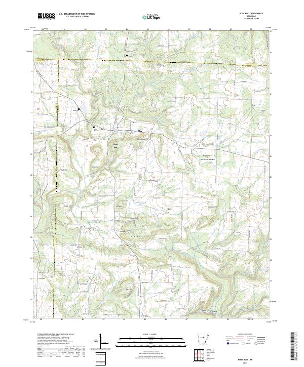
2024 Map of Rose Bud
USGS Topo · Published 2024About this map
Rose Bud serves as the central hub of this northern Arkansas landscape, where the intersection of state routes anchors a community surrounded by distinctive family-named terrain. The map reveals a cluster of local history sites, including the Rose Bud Cem and Moon Cem to the northwest, while the Martin Cem sits near the Cleburne County line. The topography is defined by prominent elevations such as Schoolhouse Hill, Gin Mtn, and Starkey Hill, which overlook a network of creek branches like Potter Branch and Blakey Branch. To the south, Hilltop Acres and the community of Hart mark the transition toward Bayou Des Arc. The arrangement of these landmarks, alongside the McDonald's Strip airfield, illustrates the 21st-century evolution of a rural landscape that remains deeply connected to its original land divisions and family lineages.
Find a feature on this map
114 named features on this map. Tap any name to fly to it.
Don’t see what you’re looking for? This feature index may not catch every label — zoom into the map to look around manually.
Map Details
Editions of this 2024 Rose Bud Map
This is the sole edition of this map. No revisions or reprints were ever made.
Other maps of this area

1953 · Memphis
USGS Topo · 1:250,000

1956 · Memphis
USGS Topo · 1:250,000

1956 · Russellville
USGS Topo · 1:250,000

1963 · Rose Bud
USGS Topo · 1:24,000

1963 · Floyd
USGS Topo · 1:24,000

1963 · Quitman
USGS Topo · 1:24,000

1963 · West Pangburn
USGS Topo · 1:24,000

1963 · Enola
USGS Topo · 1:24,000

1963 · Mount Vernon
USGS Topo · 1:24,000

1963 · Sidon
USGS Topo · 1:24,000