
1962 Map of Rose Crossing
USGS Topo · Published 1964About this map
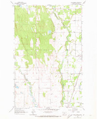
Whitefish River and Stillwater River meander through this 1962 landscape in Flathead County, tracing a valley defined by agricultural settlement and early infrastructure. The map reveals a robust network of rural education and community life, evidenced by the distribution of the Halfmoon Sch, Birch Grove Sch, Pine Grove Sch, and Helena Flats Sch. The Great Northern railroad cuts through the eastern portion of the sheet, paralleling the Whitefish River and serving the community of Rose Crossing. Further south, the County Airport and its Beacon indicate the early modernization of transport in the region. Local genealogy and social history are anchored by landmarks like the Apostolic Ch, Trinity Cem, and Midway Grange, which serve as focal points for the dispersed homesteads and farms of the era.
Find a feature on this map
22 named features on this map. Tap any name to fly to it.
Don’t see what you’re looking for? This feature index may not catch every label — zoom into the map to look around manually.
Map Details
Editions of this 1962 Rose Crossing Map
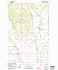
3 editions found
Other maps of this area

1943 · Kalispell
USGS Topo · 1:125,000

1957 · Kalispell
USGS Topo · 1:250,000

1960 · Kalispell
USGS Topo · 1:250,000

1961 · Kalispell
USGS Topo · 1:250,000

1962 · Columbia Falls South
USGS Topo · 1:24,000

1962 · Blue Grass Ridge
USGS Topo · 1:24,000

1962 · Beaver Lake
USGS Topo · 1:24,000

1962 · Creston
USGS Topo · 1:24,000

1962 · Rhodes
USGS Topo · 1:24,000
1962 · Kalispell
USGS Topo · 1:24,000