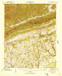
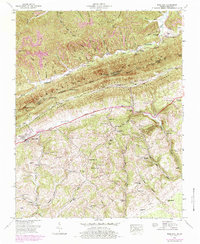
1946 Map of Rose Hill
USGS Topo · Published 1957About this map
Cumberland Mountain forms a formidable physical and political barrier on this 1946 Tennessee Valley Authority and USGS collaboration, marking the Kentucky Virginia border. The settlement of Rose Hill serves as a focal point in the valley below, where the Louisville and Nashville railroad and the Daniel Boone Trail parallel the base of Poor Valley Ridge. The landscape is a complex network of family-named landmarks and rural infrastructure, from Edds Mill on Hamblin Branch to the State Fish Hatchery near Sampson. Numerous small communities and hollows like Henegartown and Possum Hollow are mapped alongside essential local institutions, including Brooks Hall Sch and Hardy Creek Ch. This survey captures the transition of the mountain gaps, such as Brierfield Gap and Middleton Gap, which historically facilitated movement across the high ridges of Little Black Mountain.
Find a feature on this map
79 named features on this map. Tap any name to fly to it.
Don’t see what you’re looking for? This feature index may not catch every label — zoom into the map to look around manually.
Map Details
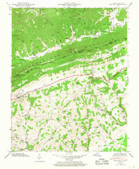
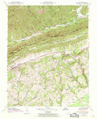
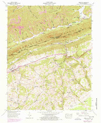
Editions of this 1946 Rose Hill Map
5 editions found
Other maps of this area

1887 · Jonesville
USGS Topo · 1:125,000

1891 · Jonesville
USGS Topo · 1:125,000

1903 · Harlan
USGS Topo · 1:48,000

1916 · Harlan
USGS Topo · 1:48,000

1916 · Nolansburg
USGS Topo · 1:48,000

1919 · Nolansburg
USGS Topo · 1:62,500

1919 · Harlan
USGS Topo · 1:62,500

1932 · Hagan
USGS Topo · 1:62,500
1935 · Ewing
USGS Topo · 1:24,000

1935 · Hubbard Springs
USGS Topo · 1:24,000