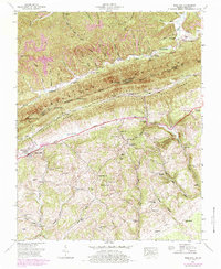
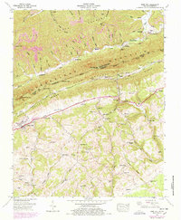
1946 Map of Rose Hill
USGS Topo · Published 1984About this map
Cumberland Mountain dominates the landscape of this 1946 survey, marking the jagged boundary between Harlan and Lee counties and the border between Kentucky and Virginia. The Louisville and Nashville railroad winds through the valleys, serving small communities like Rose Hill and Hagan. This era shows a rural economy transitioning from early industry to mid-century development, evidenced by the presence of Edds Mill and Carrol Mill alongside established institutions like the State Fish Hatchery near Sampson.
Find a feature on this map
78 named features on this map. Tap any name to fly to it.
Don’t see what you’re looking for? This feature index may not catch every label — zoom into the map to look around manually.
Map Details
Editions of this 1946 Rose Hill Map
5 editions found
Other maps of this area

1887 · Jonesville
USGS Topo · 1:125,000

1891 · Jonesville
USGS Topo · 1:125,000

1903 · Harlan
USGS Topo · 1:48,000

1916 · Harlan
USGS Topo · 1:48,000

1916 · Nolansburg
USGS Topo · 1:48,000

1919 · Nolansburg
USGS Topo · 1:62,500

1919 · Harlan
USGS Topo · 1:62,500

1932 · Hagan
USGS Topo · 1:62,500
1935 · Ewing
USGS Topo · 1:24,000

1935 · Hubbard Springs
USGS Topo · 1:24,000