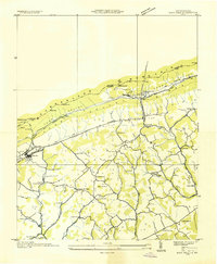
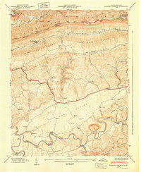
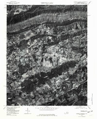
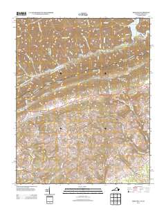
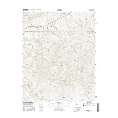
1946 Map of Rose Hill
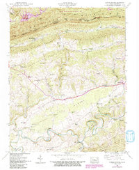
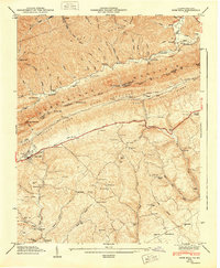
USGS Topo · Published 1968About this map
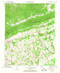
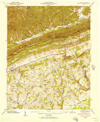
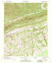
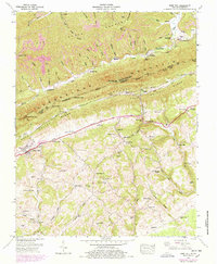
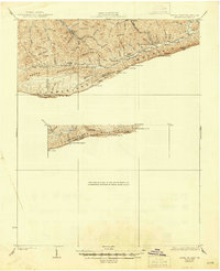
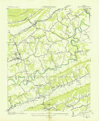
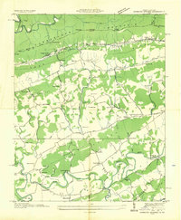
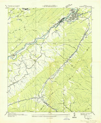
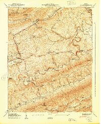
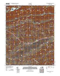
Cumberland Mountain dominates this landscape, forming the rugged boundary where the Kentucky Virginia state line follows the ridge. The settlement of Rose Hill serves as a local hub along the Louisville and Nashville rail corridor, which threads through the Poor Valley and Poor Valley Ridge terrain. This 1946 survey reveals a dispersed network of rural institutions, including family-named sites like Fee Cem and King Cem, alongside schools such as Hurst Sch and Brooks Hall Sch.
Find a feature on this map
81 named features on this map. Tap any name to fly to it.
Don’t see what you’re looking for? This feature index may not catch every label — zoom into the map to look around manually.
Map Details
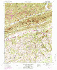
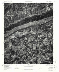
Editions of this 1946 Rose Hill Map
5 editions found
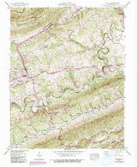
Historical Maps of Rose Hill Through Time
35 maps found
1932 Hagan
Lee County, VA
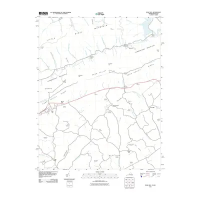
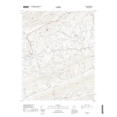
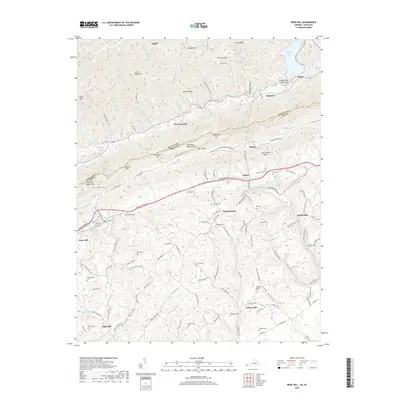
1935 Ben Hur
Lee County, VA
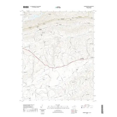
1935 Hubbard Springs
Lee County, VA
1935 Olinger
Lee County, VA
1935 Rose Hill
Lee County, VA
1946 Hubbard Springs
Lee County, VA
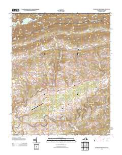
1946 Rose Hill
Lee County, VA
1947 Ben Hur
Lee County, VA
1947 Hubbard Springs
Lee County, VA
1948 Rose Hill
Lee County, VA
1949 Ben Hur
Lee County, VA
1976 Ben Hur
Lee County, VA
1976 Hubbard Springs
Lee County, VA
1976 Rose Hill
Lee County, VA

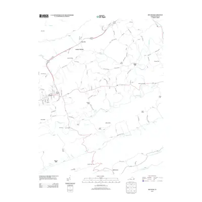
1976 Wheeler
Lee County, VA
2010 Ben Hur
Lee County, VA
2010 Wheeler
Lee County, VA
2011 Hubbard Springs
Lee County, VA
2011 Rose Hill
Lee County, VA
2013 Ben Hur
Lee County, VA
2013 Hubbard Springs
Lee County, VA
2013 Rose Hill
Lee County, VA
2013 Wheeler
Lee County, VA

2016 Ben Hur
Lee County, VA
2016 Hubbard Springs
Lee County, VA
2016 Rose Hill
Lee County, VA
2016 Wheeler
Lee County, VA
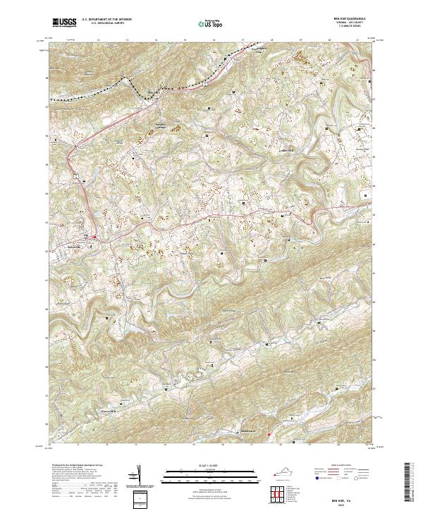
2019 Ben Hur
Lee County, VA
2019 Hubbard Springs
Lee County, VA
2019 Rose Hill
Lee County, VA

2019 Wheeler
Lee County, VA
2022 Ben Hur
Lee County, VA
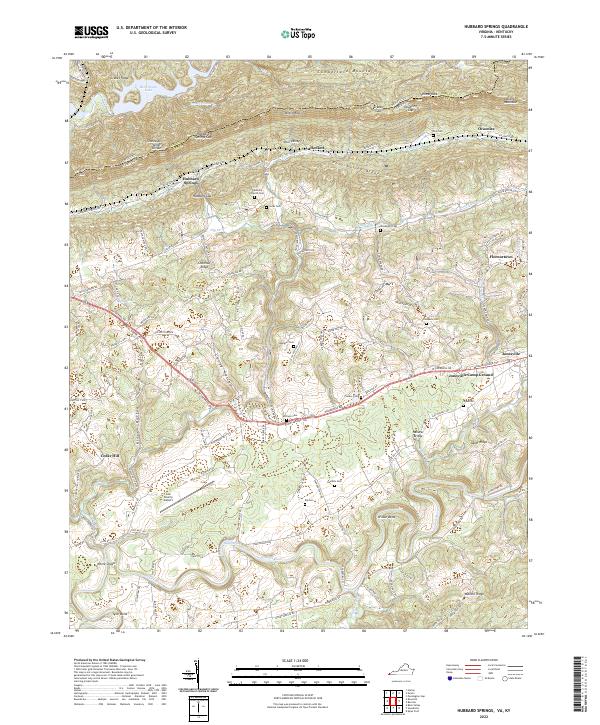
2022 Hubbard Springs
Lee County, VA
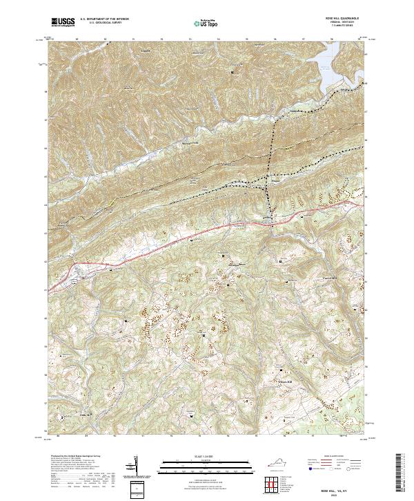
2022 Rose Hill
Lee County, VA
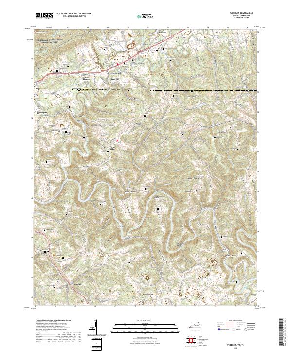
2022 Wheeler
Lee County, VA