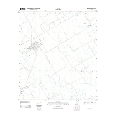
2013 Map of Rosebud
USGS Topo · Published 2013About this map
Rosebud serves as the primary hub of this Central Texas landscape, where a dense grid of streets meets the radial network of rural routes like State Loop 265 and FM-413. The town's historical footprint is anchored by Woodland Cem and a well-defined downtown core near E Main St. To the south, Burlington is documented with several significant community sites, including Burlington Cem, Burlington Black Cem, and Saint Michaels Cem, reflecting a rich local genealogy and heritage.
Find a feature on this map
79 named features on this map. Tap any name to fly to it.
Don’t see what you’re looking for? This feature index may not catch every label — zoom into the map to look around manually.
Map Details
Editions of this 2013 Rosebud Map
This is the sole edition of this map. No revisions or reprints were ever made.
Other maps of this area

1885 · Taylor
USGS Topo · 1:125,000

1887 · Taylor
USGS Topo · 1:125,000

1892 · Temple
USGS Topo · 1:125,000

1894 · Taylor
USGS Topo · 1:125,000

1954 · Waco
USGS Topo · 1:250,000

1954 · Austin
USGS Topo · 1:250,000

1955 · Waco
USGS Topo · 1:250,000

1961 · Baileyville
USGS Topo · 1:24,000

1962 · Maysfield
USGS Topo · 1:24,000

1962 · Rosebud
USGS Topo · 1:24,000