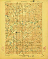
1900 Map of Roseburg
USGS Topo · Published 1911About this map
Roseburg serves as the central hub of this Douglas County landscape, situated at a bend in the river where the Southern Pacific railroad line intersects with the regional road network. The map reveals a valley-and-ridge system defined by the North and South Umpqua Rivers, supporting a string of settlements from Oakland in the north to Myrtle Creek in the south. High points like Tyee Mountain and Scott Mt. overlook fertile basins such as Garden Valley and Lookingglass Valley, where smaller communities like Melrose and Cleveland had established themselves. A notable river-based transport point is the Lone Rock Ferry located on the North Umpqua. To the east, the boundary of the Umpqua National Forest marks the transition from settled agricultural valleys into the heavily forested Cascades foothills, including landmarks like White Rock and Buck Peak.
Find a feature on this map
119 named features on this map. Tap any name to fly to it.
Don’t see what you’re looking for? This feature index may not catch every label — zoom into the map to look around manually.
Map Details
Editions of this 1900 Roseburg Map
5 editions found
Other maps of this area

1891 · Ashland
USGS Topo · 1:250,000

1893 · Ashland
USGS Topo · 1:250,000

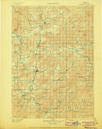
1897 · Roseburg
USGS Topo · 1:125,000

1897 · Ashland
USGS Topo · 1:250,000

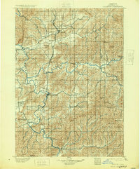
1900 · Roseburg
USGS Topo · 1:125,000

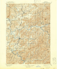
1904 · Riddle
USGS Topo · 1:125,000

1928 · Sitkum
USGS Topo · 1:125,000

1935 · Lowell
USGS Topo · 1:96,000

1942 · Lowell
USGS Topo · 1:125,000

1944 · Tiller
USGS Topo · 1:62,500