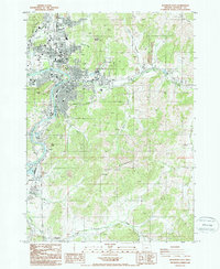
1987 Map of Roseburg East
USGS Topo · Published 1987About this map
The South Umpqua River defines the western edge of this 1980s landscape, winding past the urban center of Roseburg. This era of the city's growth is marked by the presence of significant institutions and community infrastructure, including the VA Hospital and the County Fairgrounds. The transportation network is dominated by the Southern Pacific railroad corridor and Interstate 5, which facilitate the regional movement through the valley.
Find a feature on this map
40 named features on this map. Tap any name to fly to it.
Don’t see what you’re looking for? This feature index may not catch every label — zoom into the map to look around manually.
Map Details
Editions of this 1987 Roseburg East Map
2 editions found
Other maps of this area

1897 · Roseburg
USGS Topo · 1:125,000

1900 · Roseburg
USGS Topo · 1:125,000

1954 · Dixonville
USGS Topo · 1:62,500

1954 · Sutherlin
USGS Topo · 1:62,500

1954 · Glide
USGS Topo · 1:62,500

1955 · Roseburg
USGS Topo · 1:62,500

1958 · Roseburg
USGS Topo · 1:250,000

1959 · Roseburg
USGS Topo · 1:250,000

1979 · Roseburg
USGS Topo · 1:100,000
1987 · Roseburg East
USGS Topo · 1:24,000