
1956 Map of Roseglen
USGS Topo · Published 1958About this map
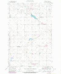
The Hiddenwood National Wildlife Refuge anchors the northern landscape of this McLean County survey, centered on the waters of Hiddenwood Lake. This mid-century view captures a rural community defined by its township structure, notably Amundsville, Gate, and Roseglen. The settlement of Roseglen is positioned near the southern border, while the surrounding prairie is dotted with essential civic markers, including a Town Hall and the Hiddenwood Cem. A clear record of early local education is preserved here through the locations of Hiddenwood Sch No 2, Hiddenwood Sch No 3, and the site of Hiddenwood Sch No 4 (Abandoned). Historically significant property lines are also visible, specifically the Old Indian Boundary which runs through the heart of the terrain near Round Top Hill.
Find a feature on this map
17 named features on this map. Tap any name to fly to it.
Don’t see what you’re looking for? This feature index may not catch every label — zoom into the map to look around manually.
Map Details
Editions of this 1956 Roseglen Map
2 editions found
Other maps of this area

1954 · McClusky
USGS Topo · 1:250,000

1956 · Makoti SW
USGS Topo · 1:24,000

1956 · Blackwater Lake NW
USGS Topo · 1:24,000

1956 · Blackwater Lake
USGS Topo · 1:24,000

1956 · Blue Hill
USGS Topo · 1:24,000

1956 · Emmet
USGS Topo · 1:24,000

1958 · McClusky
USGS Topo · 1:250,000

1980 · Makoti
USGS Topo · 1:24,000
1980 · Wabek
USGS Topo · 1:24,000
1981 · Ryder
USGS Topo · 1:24,000