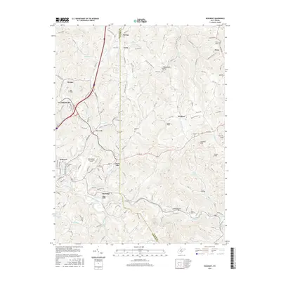
2016 Map of Rosemont
USGS Topo · Published 2016About this map
Simpson Creek winds through this West Virginia landscape, anchoring a series of small communities and local landmarks between Clarksburg and the Harrison and Taylor county line. The presence of the North Central West Virginia Airport signifies the area's role as a regional transit hub, while the residential developments around Maple Lake and Oral Lake indicate a shift toward suburban and recreational land use.
Find a feature on this map
135 named features on this map. Tap any name to fly to it.
Don’t see what you’re looking for? This feature index may not catch every label — zoom into the map to look around manually.
Map Details
Editions of this 2016 Rosemont Map
This is the sole edition of this map. No revisions or reprints were ever made.
Other maps of this area

1902 · Clarksburg
USGS Topo · 1:62,500

1902 · Fairmont
USGS Topo · 1:62,500

1904 · Philippi
USGS Topo · 1:62,500

1904 · Weston
USGS Topo · 1:62,500

1910 · Clarksburg
USGS Topo · 1:62,500

1923 · Fairmont
USGS Topo · 1:62,500

1923 · Clarksburg
USGS Topo · 1:62,500

1925 · Clarksburg
USGS Topo · 1:62,500

1925 · Philippi
USGS Topo · 1:62,500

1926 · Fairmont
USGS Topo · 1:62,500