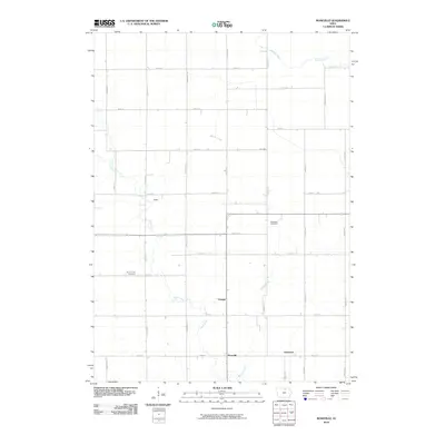
2010 Map of Roseville
USGS Topo · Published 2010About this map
Roseville and Ulster anchor this corner of Floyd County, Iowa, reflecting the enduring grid-based agricultural organization of the American Midwest. The landscape is defined by the winding paths of Flood Creek, Beaver Creek, and Stewart Creek, which break the geometric precision of the township roads. These waterways provided the natural drainage and resource base for the small rural communities and dispersed farmsteads that characterize the area. Near the central corridor, Carney and Oakwood represent the small-scale settlement patterns typical of the region's development.
Find a feature on this map
30 named features on this map. Tap any name to fly to it.
Don’t see what you’re looking for? This feature index may not catch every label — zoom into the map to look around manually.
Map Details
Editions of this 2010 Roseville Map
This is the sole edition of this map. No revisions or reprints were ever made.
Other maps of this area

1954 · Mason City
USGS Topo · 1:250,000

1954 · Waterloo
USGS Topo · 1:250,000

1955 · Waterloo
USGS Topo · 1:250,000

1957 · Mason City
USGS Topo · 1:250,000

1958 · Mason City
USGS Topo · 1:250,000

1971 · Rockford
USGS Topo · 1:24,000

1971 · Orchard
USGS Topo · 1:24,000

1971 · Rudd
USGS Topo · 1:24,000

1971 · Charles City
USGS Topo · 1:24,000

1971 · Nashua NW
USGS Topo · 1:24,000